
TIFF (Tagged Image File Format)
Open BetaTIFF è un formato raster di alta qualità con compressione senza perdite. Ideale per la stampa professionale e l'archiviazione di mappe. Supporta alta risoluzione e colori CMYK.
Caratteristiche principali
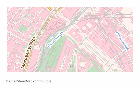
Quale programma apre i file TIFF
I seguenti programmi e applicazioni possono aprire, modificare ed elaborare i file TIFF (Tagged Image File Format) (.tiff) esportati da OSM2CDR:
Format specifications
- Open standard
- 2D only
- Lossless (no quality loss)
- No attributes
- Output: 1 file
- TIFF 6.0 baseline (no georeferencing). For high-resolution print exports. Opens in Photoshop, GIMP, Lightroom.
Chi usa le mappe TIFF
Come esportare in TIFF
Mappe popolari in TIFF
Ottieni esportazioni di mappe in TIFF (Tagged Image File Format)
Scarica mappe TIFF professionali da OpenStreetMap. Generazione istantanea, qualsiasi area.
Domande frequenti
Formati correlati
Esportati spesso insieme
Related Articles
Maps for Academic Papers: Standards and Formats
How to prepare maps for dissertations: scale, legends, PDF/SVG format, fonts. Step-by-step guide with examples for acade
formatTIFF — Aldus and Adobe Extensible Raster Format for Print and Archival
TIFF is a tag-based raster format from Aldus (1986, Adobe 1994): TIFF 6.0 (1992), multi-page, lossless LZW/Deflate, BigT
tutorialMaps in Photoshop: Creating Art Posters from OpenStreetMap
How to create an art poster from an OSM map in Photoshop. PSD import with layers, color grading, effects, and A3/A2 prin