
PostScript (.ps)
Price before paymentPostScript (.ps) হলো Adobe-র একটি পৃষ্ঠা-বর্ণনা ভাষা, PDF-এর পূর্বসূরি। বৈজ্ঞানিক প্রকাশনার একটি প্রি-প্রেস ও আর্কাইভাল মানদণ্ড, যা হাজার হাজার প্রিন্টার ও RIP সার্ভারে সমর্থিত। LaTeX পাইপলাইনের (dvips → ps2pdf) জন্য এবং দীর্ঘমেয়াদি আর্কাইভে সম্পাদনাযোগ্য ভেক্টর মানচিত্র লেআউট রাখার জন্য আদর্শ।
OpenStreetMap data as of 26 October 2026 · 26 days ago
মূল বৈশিষ্ট্য
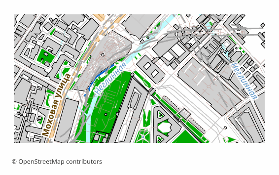
PostScript ফরম্যাট সম্পর্কে
PostScript is a page description language invented by Adobe in the early 1980s; PDF grew directly out of it. A .ps file is, in essence, a small program executed by the interpreter inside a printer or a RIP server: it draws vector outlines, text and raster inserts. Level 3 is still understood by office and print-shop devices, and the free Ghostscript opens such a file on any operating system.
An OpenStreetMap map is exported to PostScript when the result goes into a printing or archival pipeline: hand it to a print shop, put it on a RIP, keep the layout in editable vector form for years ahead. For on-screen viewing the format is awkward — usually a .ps is first turned into a PDF with a single command.
Here is how the file is built on our side: QGIS draws the sheet in vector, the labels stay as text with embedded fonts, and then Ghostscript converts the result into PostScript Level 3 with a standard DSC structure. The sheet is 297x210 mm by default (A4 in landscape orientation), raster elements are 300 DPI. PostScript has no layers by the design of the format itself: the map arrives as a single stream of vector commands.
কোন প্রোগ্রাম PostScript ফাইল খোলে
নিম্নলিখিত প্রোগ্রাম ও অ্যাপ্লিকেশনগুলি OSM2CDR থেকে এক্সপোর্ট করা PostScript (.ps) (.ps) ফাইল খুলতে, সম্পাদনা করতে ও এর সাথে কাজ করতে পারে:
Format specifications
- Open standard
- 2D only
- Lossless (no quality loss)
- No attributes
- Output: 1 file
- PostScript Level 3. Page-description language for printers; open with Ghostscript or convert to PDF for viewing.
কারা PostScript মানচিত্র ব্যবহার করেন
কীভাবে PostScript এক্সপোর্ট করবেন
এক্সপোর্টের পর কীভাবে খুলবেন
- Ghostscript (free) — both viewing and conversion: ps2pdf map.ps map.pdf gives you a PDF, and calling gs with -r300 rasterizes the sheet at the resolution you need.
- GSview on Windows or Evince on Linux — open the .ps directly and look at the page without converting it.
- Adobe Distiller — the regular prepress route: PostScript in, PDF with font and color control out.
- A print shop or a RIP server — the file is handed over as is; agree on the sheet size and margins in advance, otherwise the map will be trimmed at the edge.
- LaTeX — for pdflatex convert the file to PDF with ps2pdf and insert it with the usual includegraphics; in the classic latex + dvips pipeline EPS is more common for illustrations, and you can download that from us too.
PostScript (.ps) মানচিত্র এক্সপোর্ট পান
OpenStreetMap থেকে পেশাদার মানের PostScript মানচিত্র ডাউনলোড করুন। যেকোনো এলাকার জন্য তাৎক্ষণিক প্রস্তুতি।
প্রায়শই জিজ্ঞাসিত প্রশ্ন
What people who already downloaded say
Finally, maps can be downloaded as vectors. Thanks to the author!
Map: Ufa, AI
everything is really cool, I didn't expect I'd just come and download a piece of the map! thanks!!!
Map: Nizhny Novgorod, PMTiles
HUGE THANKS!!! A VERY GOOD PROGRAM!!! I was looking for a vector map where 3 countries meet - it helped a lot!!
Map: Kazakhstan and Altai, PDF
Well done! You've done a big and much-needed job!
Map: Roshchino, Leningrad Region, GeoTIFF
Ivan, thank you so much! Not just a man - a Great Man!
Map: Saratov Region, GeoJSON
ivan, you're simply a wonder. Thank you for an incredibly cool service
Map: Bogashevo near Tomsk, DXF