
LaTeX/TikZ (Academic Map)
Open Betaخروجی دادههای نقشهٔ OpenStreetMap بهصورت LaTeX/TikZ برای انتشارات دانشگاهی. نقشههای برداری را مستقیماً در اسناد LaTeX با کنترل کامل بر سبکها، قلمها و برچسبها بسازید.
ویژگیهای کلیدی
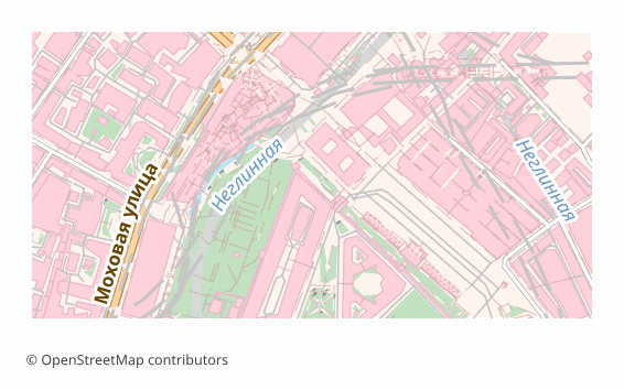
دربارهٔ قالب LaTeX/TikZ
TikZ is a graphics language inside LaTeX: a drawing is described by commands right in the source, and the compiler turns them into vector graphics while building the document. For academic work that is convenient because the map lives inside the text rather than as a separate picture: the fonts are the same as in the article, the sizes do not drift, and an edit takes a second.
The export is needed when a map goes into an article, a dissertation or a poster: the journal demands vector, the reviewer asks to change a caption, and the figure has to be built together with the text. The resulting .tex is edited by hand — line widths, colors, label positions.
The file is a self-contained document of the standalone class with a single tikz package. Layer colors are declared through \definecolor, the geometry is written out as drawing commands onto a 15 × 10 cm canvas, and a scale bar with a caption in meters or kilometers is drawn in the lower left corner. Object labels are added as \node elements, no more than two hundred of them, so the document stays compilable.
For Cyrillic, inputenc with UTF-8 and fontenc with the T2A encoding are included; the most reliable way is to build the file with XeLaTeX or LuaLaTeX — they work with Unicode directly.
چه برنامهای فایلهای LaTeX/TikZ را باز میکند
برنامهها و نرمافزارهای زیر میتوانند فایلهای LaTeX/TikZ (Academic Map) (.tex) صادرشده از OSM2CDR را باز و ویرایش کنند و با آنها کار کنند:
Format specifications
- Open standard
- 2D only
- Lossless (no quality loss)
- No attributes
- Output: 1 file
- LaTeX TikZ source (.tex). Embed maps directly in scientific papers; compiles with pdflatex into print-quality vector PDF.
چه کسانی از نقشههای LaTeX/TikZ استفاده میکنند
چگونه LaTeX/TikZ را خروجی بگیریم
نحوه باز کردن پس از خروجی
- Overleaf — create a project, upload the .tex and press Recompile; the tikz package is already there, and the compiler in the project settings is better switched to XeLaTeX or LuaLaTeX.
- TeXstudio, TeXShop, VS Code with LaTeX Workshop — open the file and build it locally; in full TeX Live and MiKTeX installations nothing extra has to be installed.
- Inserting into your own article — copy the block between \begin{tikzpicture} and \end{tikzpicture} into a figure environment, and move the \definecolor lines into the document preamble.
- Changing the look — colors are changed in \definecolor, line thickness in the line width parameter, and an unwanted layer is removed by deleting its block of commands.
- A PDF for the journal — the built standalone gives a PDF exactly the size of the figure, with no page margins; such a file is accepted as a vector illustration.
نقشههای محبوب در LaTeX/TikZ
خروجی نقشهٔ LaTeX/TikZ (Academic Map) را دریافت کنید
نقشههای حرفهای LaTeX/TikZ را از OpenStreetMap دانلود کنید. تولید آنی برای هر ناحیه.