
TIFF (Tagged Image File Format)
Open BetaTIFF on kõrge kvaliteediga rastervorming kadudeta tihendusega. Ideaalne professionaalseks trükkimiseks ja kaartide arhiivimiseks. Toetab kõrget eraldusvõimet ja CMYK-värve.
Põhiomadused
Vormingu TIFF kohta
TIFF is a raster format that has stayed the working standard of print and archives since the 1980s: lossless compression, any image dimensions, support for high resolutions. It is opened by Photoshop, GIMP, Affinity Photo, the standard macOS viewer and just about any image editor.
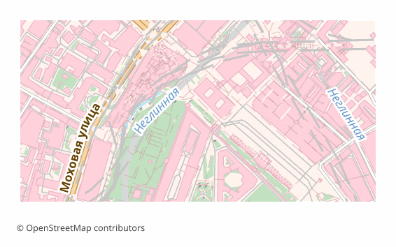
A map is exported to TIFF when you need a final shot for printing or long-term storage: a poster for the wall, an illustration for a book, an appendix to a report. Unlike JPEG, TIFF loses no pixels when re-saved, so the file calmly survives several rounds of edits.
The output is a single .tiff rendered through QGIS at 300 DPI (the value can be changed at export time). This is an image and nothing more: layers, labels and objects are already flattened and cannot be edited. There is no georeferencing inside — if the map has to go into a GIS on top of other data, take GeoTIFF.
Milline programm avab TIFF-faile
Järgmised programmid ja rakendused suudavad avada, redigeerida ning töödelda OSM2CDR-ist eksporditud TIFF (Tagged Image File Format) (.tiff) faile:
Format specifications
- Open standard
- 2D only
- Lossless (no quality loss)
- No attributes
- Output: 1 file
- TIFF 6.0 baseline (no georeferencing). For high-resolution print exports. Opens in Photoshop, GIMP, Lightroom.
Kes kasutab TIFF-kaarte
Kuidas eksportida vormingusse TIFF
Kuidas pärast eksporti avada
- Photoshop and Affinity Photo — File → Open; check the size in pixels and the resolution, and for a print house convert the file to CMYK or simply download a CMYK TIFF from us.
- GIMP — opens TIFF with no plugins; handy for adding a caption, an inset or a frame before printing.
- InDesign, Word, LibreOffice — place it as an illustration; make sure the picture is not stretched beyond 100%, otherwise the effective resolution drops.
- The print house — check their requirements in advance: usually CMYK and 300 DPI at the final size are needed; an RGB file gets converted by the printer itself and the color may drift.
- QGIS — if georeferencing turns out to be needed, a TIFF can be referenced by hand (Raster → Georeferencer), or the map can be re-downloaded as GeoTIFF.
Populaarsed kaardid vormingus TIFF
Hangi kaardiekspordid vormingus TIFF (Tagged Image File Format)
Laadi alla professionaalsed TIFF-kaardid OpenStreetMapi andmetest. Kohene genereerimine, mis tahes ala.
Korduma kippuvad küsimused
Seotud vormingud
Sageli koos eksporditavad vormingud
Related Articles
Download a GeoTIFF by coordinates: a base map for exactly the area you need
How to download a GeoTIFF map by coordinates: what a georeferenced raster is, how to set the area bounds, choose a coord
usecaseMaps for Academic Papers: Standards and Formats
How to prepare maps for dissertations: scale, legends, PDF/SVG format, fonts. Step-by-step guide with examples for acade
formatTIFF — Aldus and Adobe Extensible Raster Format for Print and Archival
TIFF is a tag-based raster format from Aldus (1986, Adobe 1994): TIFF 6.0 (1992), multi-page, lossless LZW/Deflate, BigT