osm2cdr.com
Ready map · OSM data

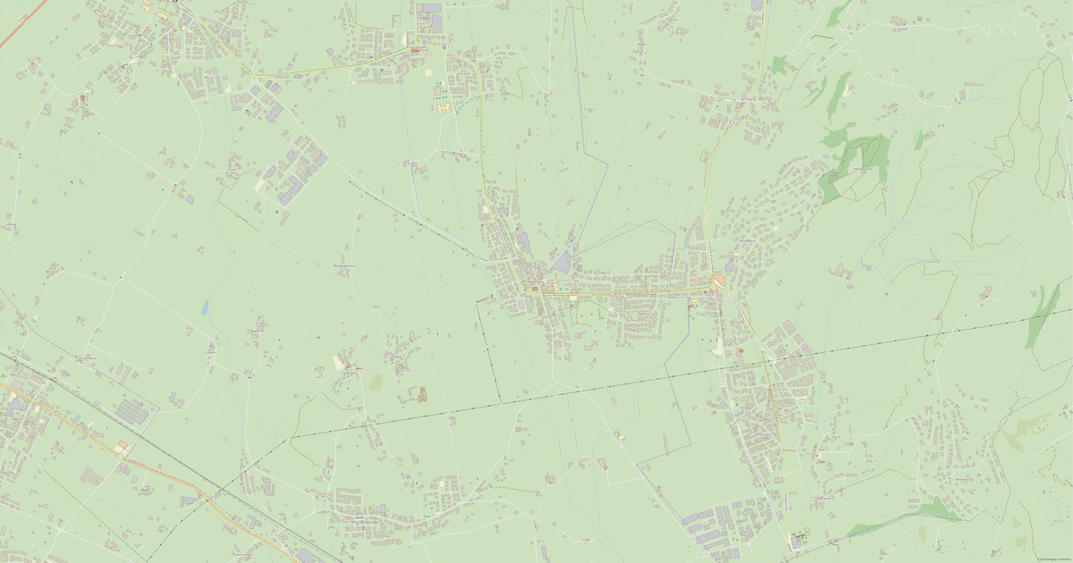
Map of Oppioli

Village · Verona

A ready-made vector map with buildings, roads and features — for CAD, GIS and print. Download after signing in.

Choose a format
Download · PDF
All 140 formats Customize your area
140 formatsOSM datadownload after signing in
N
© OpenStreetMap
Boundary · Oppioli · OpenStreetMap
BuildingsRoadsWaterGreeneryBoundary

Among its neighbours Oppioli is the biggest and most densely built. At the same time Oppioli stands in the company of water — the Bussè runs off to one side, but within the district; the water nearby brings cool air in the heat and a quiet view year-round.

Map passport

919
Buildings
31 km
Roads
6
Points of interest
Typevillage
Coordinates45.16° N, 11.3° E
Elevation≈12 m
OSM data2026-10-05
Customize the map for yourself

Open the area of Oppioli in the constructor and change layers, style, format and coordinate system for your task.

Open in constructor

Map defaults

This is how the map is built by default — every parameter can be changed in the constructor.

Format
PDF choose
Layers
Roads, Buildings, Water, Greenery, POIchange
Style
Standard (colour)change
Detail
auto · by area sizechange
House numbers
Points of interest
all but cafés, shops and services — the editor adds thosechange
Coordinate system
WGS 84 (auto)change
Sheet size
Relief and grid

Download the map of Oppioli in 140 formats

The same OpenStreetMap dataset — in the format for your software. Pick by task: CAD, vector, GIS, 3D or print.

Popular formatsthe most common formats
MOST COMMON
PDFfor printing and viewing.pdf
CDRfor CorelDRAW.cdr
SVGfor Illustrator, Inkscape, web.svg
GeoJSONfor QGIS and web maps.geojson
DWGfor AutoCAD, nanoCAD, BricsCAD.dwg
CADdrafting and design
DWGFREE
AutoCAD.dwg
DXFFREE
CAD exchange.dxf
CDRFREE
CorelDRAW.cdr
DGNFREE
MicroStation.dgn
Vectorillustration and web
SVGFREE
Web · vector.svg
AIFREE
Illustrator.ai
EPSFREE
Print production.eps
PDFFREE
Vector · print.pdf
GISgeo-referenced data
GeoJSONFREE
GIS · data.geojson
ShapefileFREE
QGIS · ArcGIS.shp
KMLFREE
Google Earth.kml
GeoPackageFREE
GeoPackage.gpkg
3Dvolume and models
STLFREE
3D printing.stl
OBJFREE
3D model.obj
glTFFREE
3D · web.gltf
DAEFREE
Collada.dae
Printraster and layouts
PNGFREE
Raster · transparency.png
JPGFREE
Raster.jpg
PDFFREE
Print layout.pdf
TIFFFREE
Print production.tif
Open all 140 formats

Location of Oppioli

Distance and direction to the nearest centres

Oppioli lies 0.7 km to the north of Legnago.

Nearest city
Legnago — 0.7 km to the north
District centre
Verona — 35.3 km to the north-west

Maps of Verona

Nearby cities and districts — every map is ready to download.

Oppeano
Oppeano
Village · 9K
Ca' di David
Ca' di David
Village · 7K
Lugagnano
Lugagnano
Village · 6K
Dossobuono
Dossobuono
Village · 6K
Villa Bartolomea
Villa Bartolomea
Village · 5K
Montorio
Montorio
Village · 5K
Quinto
Quinto
Village · 4K
Caselle
Caselle
Village · 4K
Castagnaro
Castagnaro
Village · 4K
Raldon
Raldon
Village · 3K
Bosco Chiesanuova
Bosco Chiesanuova
Village · 3K
Pedemonte
Pedemonte
Village · 3K
Parona
Parona
Village · 3K
Vago
Vago
Village · 2K
Santo Stefano di Zimella
Village · 2K
San Pietro di Lavagno
Village · 2K
Fumane
Fumane
Village · 2K
Alpo
Alpo
Village · 2K
Roncanova
Roncanova
Village · 1K
Poiano
Poiano
Village · 1K
Cavalcaselle
Cavalcaselle
Village · 1K
San Gregorio
San Gregorio
Village · 1K
Corrubbio di Negarine
Village · 1K
Basson
Basson
Village · 1K
Cherubine
Cherubine
Village · 1K
Maccacari
Maccacari
Village · 1K
Campagnola
Campagnola
Village · 1K
Rizza
Rizza
Village · 1K
San Zeno di Montagna
Village · 1K
Gazzolo
Gazzolo
Village · 981
Villafontana
Villafontana
Village · 649
Villafontana di Bovolone
Village · 590
Rosegaferro
Rosegaferro
Hamlet · 957
San Pancrazio
San Pancrazio
Hamlet · 793
San Zeno
San Zeno
Hamlet · 785
Marchesino
Marchesino
Hamlet · 306
Pozzo
Pozzo
Hamlet · 188
Arbizzano
Arbizzano
Village
Asparetto
Asparetto
Village
Avesa
Avesa
Village
Begosso
Begosso
Village
Bonaldo di Zimella
Bonaldo di Zimella
Village
Bonferraro
Bonferraro
Village
Borgo Bonavicina
Borgo Bonavicina
Village
Bovo
Bovo
Village
Carpi
Carpi
Village
Coriano
Coriano
Village
Correzzo
Correzzo
Village
Costalunga
Costalunga
Village
Crosare
Crosare
Village
Cà degli Oppi
Cà degli Oppi
Village
Domegliara
Domegliara
Village
Mancalacqua
Mancalacqua
Village
Marzana
Marzana
Village
Menà
Menà
Village
Palazzina
Palazzina
Village
Palazzolo
Palazzolo
Village
Pellegrina
Pellegrina
Village
Prova
Prova
Village
Quaderni
Quaderni
Village
Quinzano
Quinzano
Village
San Benedetto di Lugana
Village
San Pietro di Legnago
Village
San Vito
San Vito
Village
Santa Maria di Zevio
Village
Spinimbecco
Spinimbecco
Village
Sustinenza
Sustinenza
Village
Tarmassia
Tarmassia
Village
Vallese
Vallese
Village
Venera
Venera
Village
Vigo
Vigo
Village
Albaro
Albaro
Hamlet
Azzano
Azzano
Hamlet
Barchetta
Barchetta
Hamlet
Capitello
Capitello
Hamlet
Carcereri
Carcereri
Hamlet
Casette del Chiodo
Casette del Chiodo
Hamlet
Cillario
Cillario
Hamlet
Forette
Forette
Hamlet
La Punta
La Punta
Hamlet
Loncrino
Loncrino
Hamlet
Magarino
Magarino
Hamlet
Malcanton
Malcanton
Hamlet
Nogara Prima
Nogara Prima
Hamlet
Ognissanti
Ognissanti
Hamlet
Olivè
Olivè
Hamlet
Perzacco di Zevio
Perzacco di Zevio
Hamlet
San Zenone
San Zenone
Hamlet
Sant'Anna
Sant'Anna
Hamlet
Santa Cristina
Santa Cristina
Hamlet
Sorio
Sorio
Hamlet
Spontini
Spontini
Hamlet
Strà
Strà
Hamlet
Trami
Trami
Hamlet
Valmorsel
Valmorsel
Hamlet
Villanova
Villanova
Hamlet

Neighbouring places and regions

Browse to neighbouring cities, districts and regions — each has a ready-made vector map in the same formats.

Nearby

Mantua410 231 · 42 km · CityGenova586 655 · 204 km · CityTorino856 745 · 284 km · CityTàttari/Sassari126 576 · 541 km · CitySarajevo271 194 · 582 km · CityPraha1 275 406 · 596 km · CityNovi Sad260 438 · 669 km · CityBonn335 913 · 694 km · City
Map of Oppioli
Oppioli
Verona

About Oppioli

Analytical Portrait: Oppioli Oppioli spans 1.4 km² and contains 919 buildings. Strengths 38/100 Connectivity Poorly connected road network 18/100 Commerce Limited commercial infrastructure 8/100 Healthcare Limited healthcare infrastructure

919buildings
31 kmroads and streets
6features
140formats
WGS 84coordinate system

What's inside the map of Oppioli

The map covers the entire area of Oppioli within administrative boundaries. Each layer can be turned on or off before download.

919buildings
Buildings on separate layers
industrial12
31km
Roads with classification
trunk roads8 km
service roads0 km
cycleways9 km
6POI
Points of interest
sports pitches1
schools2
parking1
Main streets
Via Gioacchino RossiniVia CasonaVia Scolo PisaniVia Antonio GaioVia PilastrinaVia Suore

What's around

Forest, water, services and roads nearby

🌳 Nature

  • 🌲Forest2.9 km
  • 🌲Forest within 5 km0.3 km²
  • 💧River Bussè995 m
  • 🌊Lake3.1 km
  • 🏖️Sea coast50 km

🏢 Services

  • 🏫School3.6 km
  • 🧸Kindergarten11.7 km
  • 🛒Shop3.4 km
  • 💊Pharmacy1.1 km
  • 🏥Hospital31.9 km

🛣️ Road

  • 🏙️City Legnago0.7 km NE
  • 🚉Railway station Legnago3.4 km

Relief

★ new · from relief maps

Elevation and terrain character

📏 Average elevation
12 m
↕️ Range
9–20 m
🗻 Character
Flat terrain

Elevations are computed from digital elevation models (Copernicus GLO-30). Elevation drop — 11 m.

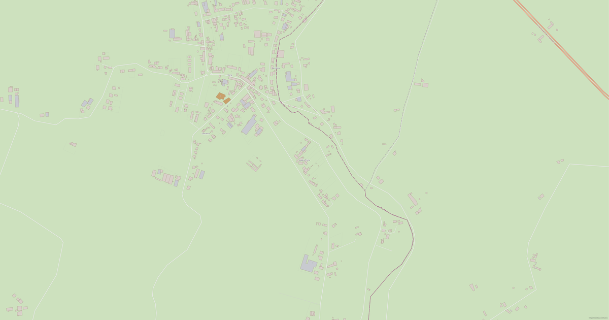
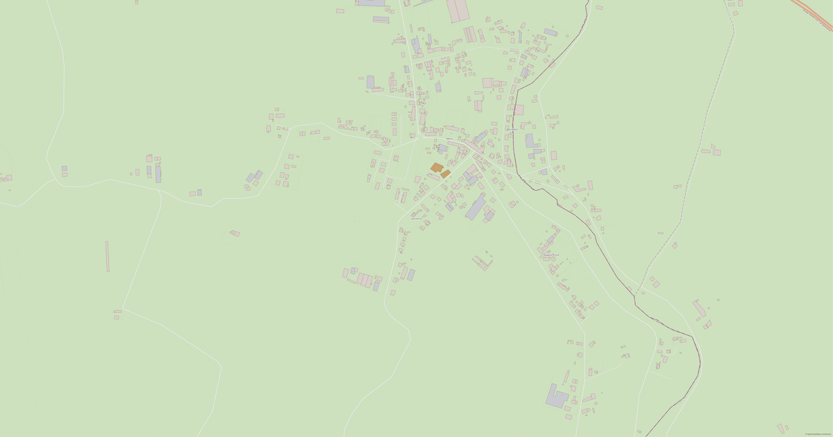
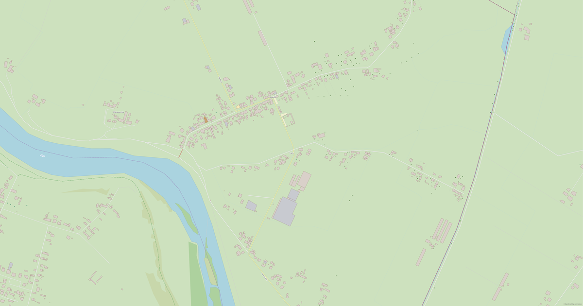
What the map of Oppioli looks like

The same place in three render styles. Buildings, roads, water and greenery carry over into every format losslessly.

Blueprint (CAD) — map of Oppioli
Blueprint (CAD)
Outlines on a dark background — for DWG and DXF
Standard vector — map of Oppioli
Standard vector
A colour map with buildings, roads and greenery
Print layout — map of Oppioli
Print layout
A ready layout for PDF and print production

Infrastructure of Oppioli

What's on the territory according to OpenStreetMap data.

1
Dining
2
Water

How the map is used

The same dataset for Oppioli — for different tasks: from drafting to 3D printing.

Architecture and design
An underlay and building outlines for drawings and layouts.
DWG / DXF
Design and illustration
A vector map base for posters, schemes and identity design.
SVG / AI
GIS and analysis
Geo-referenced layers for QGIS, ArcGIS and spatial analysis.
GeoJSON / SHP
3D printing and models
Relief of buildings and terrain for printing and visualization.
STL
Navigation and tracks
Map data for navigators and route apps.
Garmin
Print and publishing
A ready map layout for print production.
PDF

Nature and green areas

Parks, squares and water bodies of Oppioli according to OpenStreetMap data — everything is carried into the map as separate layers.

2
water bodies
Water bodies
›Adige · river
›Bussè · river

Streets and roads

Roads classified by type — according to OpenStreetMap data.

9,2 km
cycleways
8,2 km
trunk roads
5 km
residential streets
3,8 km
unclassified roads
2,5 km
secondary roads
2,1 km
tertiary roads
0,5 km
service roads

The street network of Oppioli — 31 km of roads according to OpenStreetMap data, classified by type.

Named streets
›Via Gioacchino Rossini · 2,4 km
›Via Casona
›Via Scolo Pisani
›Via Antonio Gaio
›Via Pilastrina
›Via Suore
›Via Villabona
›Via Capitello

Restaurants and cafés

Food and drink venues according to OpenStreetMap data.

1
restaurants

In Oppioli, OpenStreetMap records 1 food and drink venues — restaurants, cafés, bars and fast-food outlets.

Notable venues
›Trattoria Pinos Di Scarabello Lucio

Education

Schools, universities and libraries according to OpenStreetMap data.

2
schools

What's on the map

Each layer of the Oppioli map can be turned on or off before download.

Map layers
›Buildings: 919
›Roads: 31 km
›Points of interest: 6

Key figures

A summary based on OpenStreetMap data for Oppioli.

Buildings919
Roads31 km
Food and drink venues1
Points of interest6

Compared to neighbours

How the place compares to neighbours within a 30-kilometre radius.

859 places within a 30 km radius to compare.

🏠 Built-uppercentile 100 of 100
🛣️ Roadspercentile 95 of 100

Frequently asked questions

Open osm2cdr.com, select the target area on the map, choose a format, and start export. Most maps are ready in a few seconds.
Map of Oppioli is available in 140 formats: CDR, DWG, DXF, SVG, AI, EPS, PDF, PNG, GeoJSON, KML, Shapefile, GeoTIFF and others.
Pick a format: all 140 formats are available, with no area limits. Download after signing in to the site; you see the price before you pay.
The service uses OpenStreetMap data, updated monthly.
Generation time depends on the area size. You will receive an email notification when ready.
Oppioli is located in Verona. The nearest city is Legnago, 0.7 km away.
Within the place boundary — 919 buildings, 31 km of roads and streets and 6 points of interest (OpenStreetMap data).