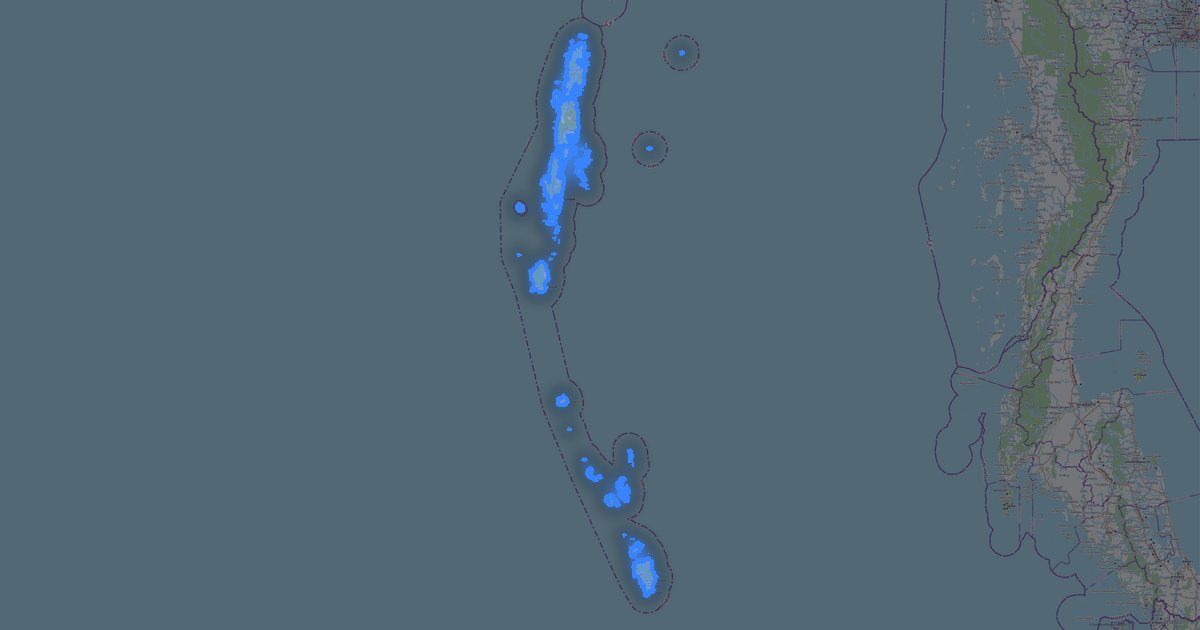
Map of Gujarat in Shapefile format
A map built from OpenStreetMap data, ready to download
Customize the map
Open this place's area in the constructor and adjust everything to your needs
Open in constructor →Map passport
What this map contains by default
This is how the map is built as-is — every setting can be changed in the constructor.

About Shapefile
Map of Gujarat in Shapefile: 202 117 km of roads, 22% green areas — in the WGS 84 coordinate system, units are meters.
Which layers are in the file
This file for the selected area contains:
- Roads
- Water
- Greenery
Geometry by layer
- Roads — lines (LineString) with OpenStreetMap tags
- Water — waterbody polygons and watercourse lines with tags
- Greenery — green-zone polygons with tags
What the file carries
The Shapefile file for Gujarat: the parts come as a set of files inside a ZIP archive, the file is binary — it is opened by a program, not by an editor, each layer is a separate file inside the archive, OpenStreetMap tags are kept as feature attributes.
File size
The expected size of the Shapefile file for Gujarat is about 2 MB; the exact size depends on the chosen layers and area.
Coordinate systems
WGS 84 (EPSG:4326), selectable in the wizard
Units
Meters (projected in the chosen coordinate system)
| Category | GIS |
| File extension | .shp |
| Tier | Open Beta |
What's in Gujarat
342,963 buildings (48,448 residential, 5,171 commercial, 1,746 industrial, 178 religious), 202,116.9 km of roads, 10,900 points of interest, 15 landmarks.
The area covers 186,346 km², with about 2 buildings per km².
Mostly residential streets 67,126.2 km, tertiary roads 44,728.8 km, unclassified roads 41,903.2 km.
22.3% of the area is green space.
The map marks 5 parks and 10 water bodies.
Key amenities: schools — 161, hospitals — 5,052, clinics — 1,408.
Public transport: 383 bus stops, 165 tram stops, 9 metro stations, 771 rail stations.
Main streets: Ahmedabad Palanpur State Highway SH41, Sardar Patel Ring Road, Border Road, Rajkot - Morbi Highway, Mehsana-Himatnagar Vijapur road
Landmarks: Kutch fossil park, Goverdhandas Tripathi Museum, Sanskar Kendra, Sharad Baug Palace and Museum, Calico Textile Museum
How to use Shapefile for Gujarat
- Select the Gujarat map area on the main page
- Choose Shapefile format and configure export settings
- Click Export and wait for processing
- Download the file and use in your application
FAQ: Shapefile for Gujarat
Why does Shapefile consist of multiple files?
Shapefile is a set of .shp, .shx, .dbf, and .prj files. We package them into a ZIP archive for convenient downloading.