Kampala地图 G-code格式
基于 OpenStreetMap 数据构建的地图,可供下载
地图档案
关于 G-code
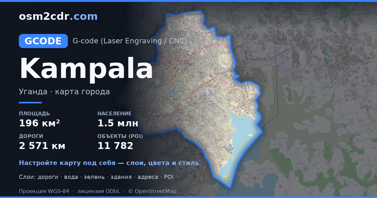
Kampala 的地图,G-code 格式 — 所选区域真实 OpenStreetMap 数据的导出。
G-code is a CNC and laser engraver control language. Maps are converted to toolpaths for laser cutting or engraving.
文件中包含哪些图层
所选区域的该文件包含:
- 道路
- 建筑物
- 水域
- 绿地
- 兴趣点
坐标系
WGS 84 (EPSG:4326),可在向导中选择
兼容性
单位
米(在所选坐标系中投影)
| 类别 | GIS |
| 文件扩展名 | .gcode |
| 级别 | Free |
What's in the G-code map of Kampala
416,530 buildings (21,188 residential, 4,335 commercial, 590 industrial, 131 religious), 2,571.6 km of roads, 11,782 points of interest, 15 landmarks.
Mostly residential streets 1,499.6 km, service roads 453.7 km, tertiary roads 197.6 km.
1.8% of the area is green space.
Key amenities: schools — 923, kindergartens — 196, clinics — 585.
Main streets: Gayaza Road, Bombo Road, Entebbe Road, Ggaba Road, Lukuli Road
Landmarks: C.N KIKONYOGO MONEY MUSEUM, UGANDA POLICE MUSEUM, Uganda Museum, URA MUSEUM, Destroyed Cars
如何为 Kampala 使用 G-code
- 在主页选择 Kampala 的地图区域
- 选择 G-code 格式并配置导出设置
- 点击「导出」并等待处理完成
- 下载生成的文件并在所需程序中使用


