Dolj地图 G-code格式
基于 OpenStreetMap 数据构建的地图,可供下载
地图档案
关于 G-code
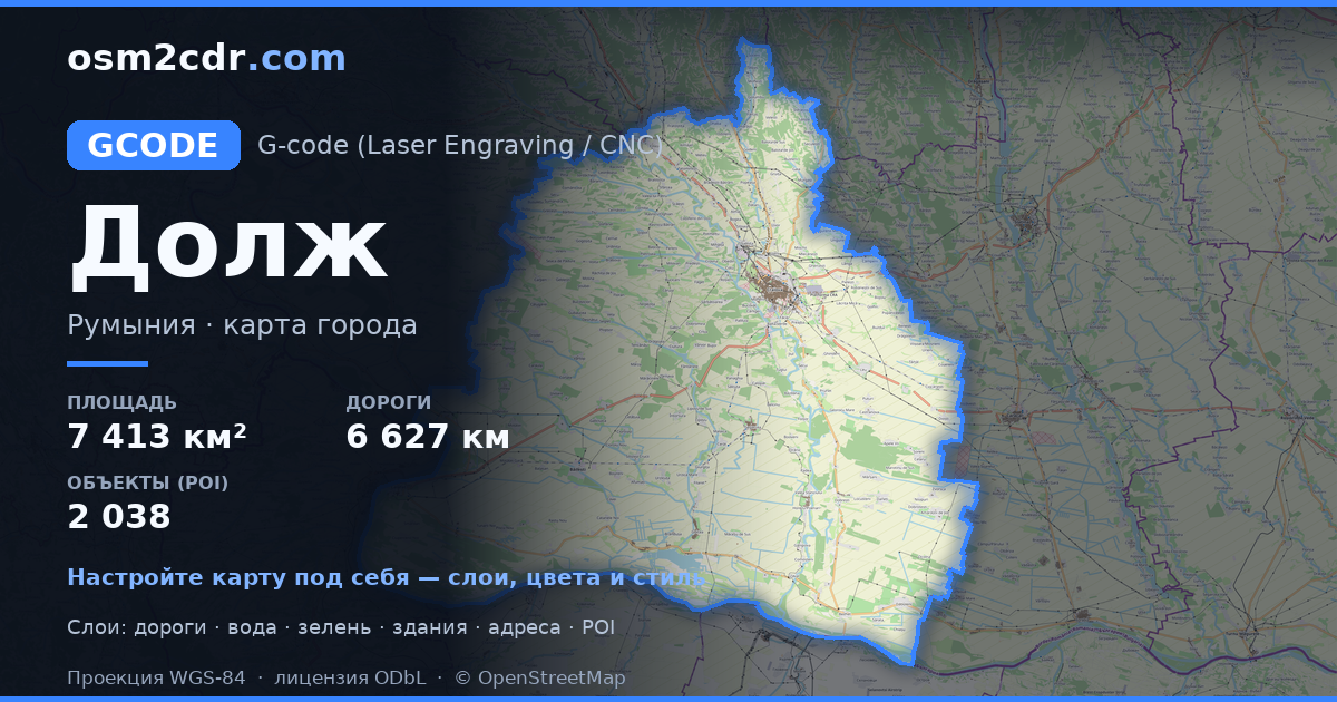
Dolj 的地图,G-code 格式 — 所选区域真实 OpenStreetMap 数据的导出。
G-code is a CNC and laser engraver control language. Maps are converted to toolpaths for laser cutting or engraving.
文件中包含哪些图层
所选区域的该文件包含:
- 道路
- 建筑物
- 水域
- 绿地
- 兴趣点
坐标系
WGS 84 (EPSG:4326),可在向导中选择
兼容性
单位
米(在所选坐标系中投影)
| 类别 | GIS |
| 文件扩展名 | .gcode |
| 级别 | Free |
What's in the G-code map of Dolj
45,183 buildings (21,025 residential, 190 commercial, 427 industrial, 79 religious), 6,627.9 km of roads, 2,038 points of interest, 15 landmarks.
Mostly residential streets 3,046.1 km, secondary roads 1,105.8 km, tertiary roads 759.3 km.
15.3% of the area is green space.
Key amenities: clinics — 45, pharmacies — 133, supermarkets — 86.
Main streets: Strada Principală, Strada Craiovei, Strada Viilor, Strada Tudor Vladimirescu, Strada Mihai Eminescu
Landmarks: Muzeul Câmpiei Băileștilor, Muzeul Teatrului Național "Marin Sorescu", Casa Memorială Elena Farago, Muzeul Olteniei. Secția de Științele Naturii, Muzeul Cula Cernăteștilor
如何为 Dolj 使用 G-code
- 在主页选择 Dolj 的地图区域
- 选择 G-code 格式并配置导出设置
- 点击「导出」并等待处理完成
- 下载生成的文件并在所需程序中使用


