贡贝州地图 OBJ格式
基于 OpenStreetMap 数据构建的地图,可供下载
地图档案
关于 OBJ
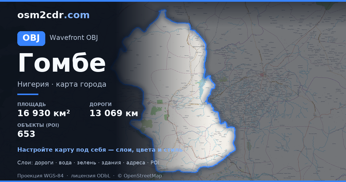
贡贝州 的地图,OBJ 格式 — 所选区域真实 OpenStreetMap 数据的导出。
Wavefront OBJ is a universal 3D model format with material support. Buildings are exported with texture coordinates and groups by type.
文件中包含哪些图层
所选区域的该文件包含:
- 道路
- 建筑物
- 水域
- 绿地
- 兴趣点
坐标系
WGS 84 (EPSG:4326),可在向导中选择
兼容性
单位
米(在所选坐标系中投影)
| 类别 | 3D |
| 文件扩展名 | .obj |
| 级别 | Free |
What's in the OBJ map of 贡贝州
308,574 buildings (345 residential, 58 commercial, 3 industrial, 4 religious), 13,069.3 km of roads, 653 points of interest, 15 landmarks.
Mostly unclassified roads 7,016.3 km, residential streets 3,749.6 km, tertiary roads 965.2 km.
1.5% of the area is green space.
Key amenities: colleges — 18, schools — 75, libraries — 8.
3D scene with 308,574 buildings for Blender, Cinema 4D, and other 3D editors.
Main streets: Gombe - Potiskum Road, Mutum Daya to Filiya Road, Gombe - Biu Road, Gombe - Potiskum Road; Ashaka Bajago Road, TUMU KASHERE ROAD
Landmarks: Zoological park, Emir Palace Tangale, District Head Kalmai, WELCOME TO GOMBE CENTRAL GATE, Field 2
如何为 贡贝州 使用 OBJ
- 在主页选择 贡贝州 的地图区域
- 选择 OBJ 格式并配置导出设置
- 点击「导出」并等待处理完成
- 下载生成的文件并在所需程序中使用


