摩纳哥地图 G-code格式
基于 OpenStreetMap 数据构建的地图,可供下载
地图档案
关于 G-code
摩纳哥 的地图,G-code 格式 — 所选区域真实 OpenStreetMap 数据的导出。
G-code is a CNC and laser engraver control language. Maps are converted to toolpaths for laser cutting or engraving.
文件中包含哪些图层
所选区域的该文件包含:
- 道路
- 建筑物
- 水域
- 绿地
- 兴趣点
坐标系
WGS 84 (EPSG:4326),可在向导中选择
兼容性
单位
米(在所选坐标系中投影)
| 类别 | GIS |
| 文件扩展名 | .gcode |
| 级别 | 免费 |
What's in the G-code map of 摩纳哥
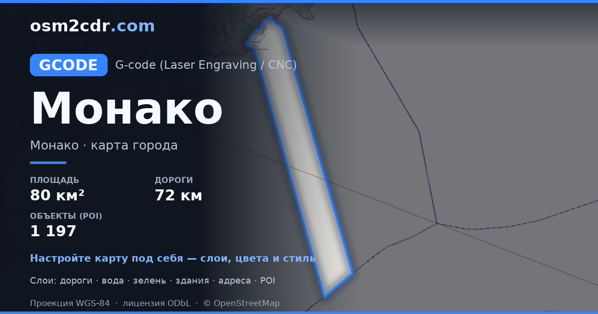
1,430 buildings (569 residential, 47 commercial, 5 industrial, 13 religious), 72.9 km of roads, 1,197 points of interest, 30 landmarks.
The area covers 80 km², with about 18 buildings per km².
Mostly residential streets 24.6 km, service roads 17.9 km, secondary roads 10.7 km.
0.1% of the area is green space.
The map marks 17 parks and 2 water bodies.
Key amenities: restaurants — 124, cafes — 27, artworks — 91.
Public transport: 106 bus stops, 3 tram stops, 1 rail stations.
Main streets: Boulevard du Larvotto, Avenue Princesse Grace, Boulevard du Jardin Exotique, Avenue Pasteur, Boulevard d'Italie
Landmarks: Musée naval, La Collection de Voitures de SAS le Prince de Monaco, Musée de la Chapelle de la Visitation, Musée d'Anthropologie Préhistorique, Musée Océanographique
如何为 摩纳哥 使用 G-code
- 在主页选择 摩纳哥 的地图区域
- 选择 G-code 格式并配置导出设置
- 点击「导出」并等待处理完成
- 下载生成的文件并在所需程序中使用
