卡纳塔克邦地图 G-code格式
基于 OpenStreetMap 数据构建的地图,可供下载
地图档案
关于 G-code
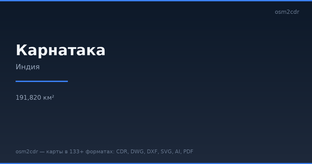
卡纳塔克邦 的地图,G-code 格式 — 所选区域真实 OpenStreetMap 数据的导出。
G-code is a CNC and laser engraver control language. Maps are converted to toolpaths for laser cutting or engraving.
文件中包含哪些图层
所选区域的该文件包含:
- 道路
- 建筑物
- 水域
- 绿地
- 兴趣点
坐标系
WGS 84 (EPSG:4326),可在向导中选择
兼容性
单位
米(在所选坐标系中投影)
| 类别 | GIS |
| 文件扩展名 | .gcode |
| 级别 | 免费 |
What's in the G-code map of 卡纳塔克邦
1,031,887 buildings (33,959 residential, 5,017 commercial, 3,776 industrial, 426 religious), 259,232.2 km of roads, 35,408 points of interest, 15 landmarks.
The area covers 191,820 km², with about 5 buildings per km².
Mostly tertiary roads 81,563.5 km, residential streets 76,065.7 km, unclassified roads 42,744.9 km.
The map marks 5 parks and 9 water bodies.
Key amenities: colleges — 724, schools — 2,383, hospitals — 3,032.
Public transport: 5,624 bus stops, 269 tram stops, 236 metro stations, 551 rail stations.
Main streets: 2nd Cross Road, 1st Cross Road, 3rd Cross Road, 1st Main Road, 4th Cross Road
Landmarks: Museum of Memories, Rezwan Razack Museum of Indian Paper Money, NIMHANS Brain Museum, Sandesha Museum of Communication, Short Wave Radio Museum
如何为 卡纳塔克邦 使用 G-code
- 在主页选择 卡纳塔克邦 的地图区域
- 选择 G-code 格式并配置导出设置
- 点击「导出」并等待处理完成
- 下载生成的文件并在所需程序中使用


