Kanifing Municipal Council地图 G-code格式
基于 OpenStreetMap 数据构建的地图,可供下载
地图档案
关于 G-code
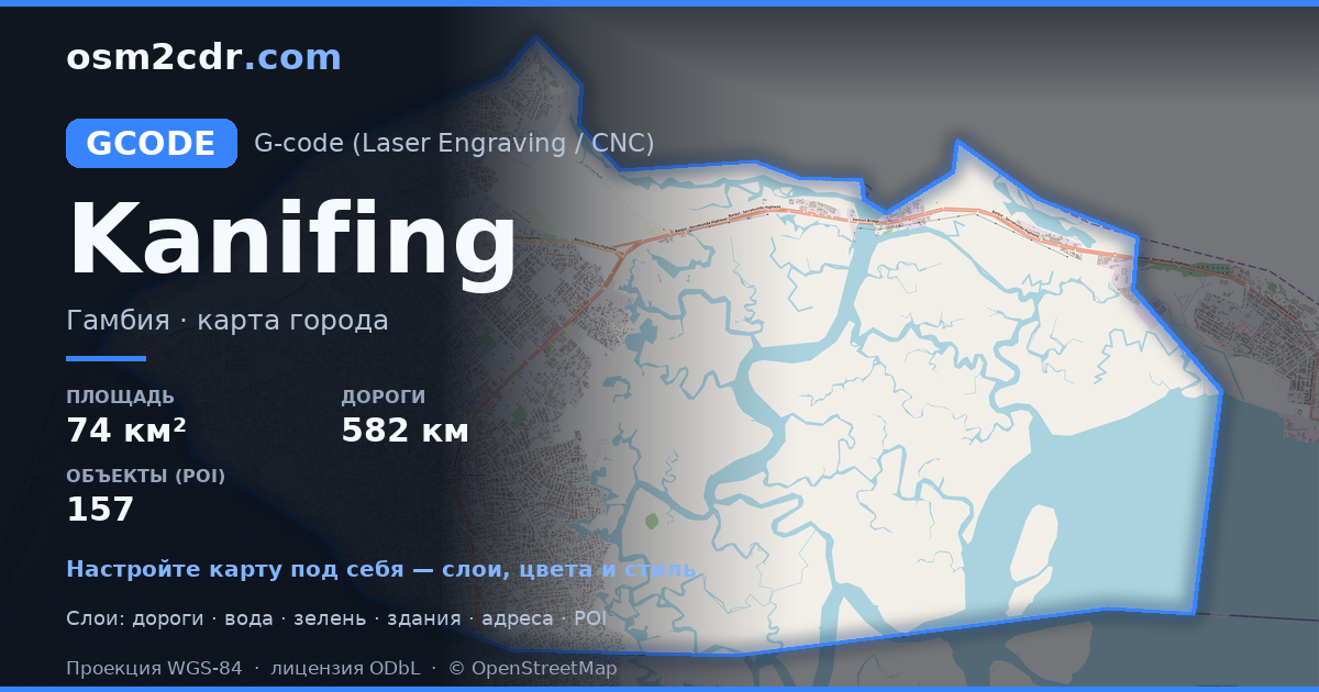
Kanifing Municipal Council 的地图,G-code 格式 — 所选区域真实 OpenStreetMap 数据的导出。
G-code is a CNC and laser engraver control language. Maps are converted to toolpaths for laser cutting or engraving.
文件中包含哪些图层
所选区域的该文件包含:
- 道路
- 建筑物
- 水域
- 绿地
- 兴趣点
坐标系
WGS 84 (EPSG:4326),可在向导中选择
兼容性
单位
米(在所选坐标系中投影)
| 类别 | GIS |
| 文件扩展名 | .gcode |
| 级别 | Free |
What's in the G-code map of Kanifing Municipal Council
29,324 buildings (20,399 residential, 84 commercial, 2 industrial, 10 religious), 582.7 km of roads, 157 points of interest, 7 landmarks.
Mostly residential streets 422.5 km, tertiary roads 49.5 km, trunk roads 44.2 km.
45.3% of the area is green space.
Key amenities: colleges — 12, schools — 11, supermarkets — 5.
Main streets: Bertil Harding Highway, Kairaba Avenue, Kotu Highway, Old Cape Road, Sayerjobe Avenue
Landmarks: Kachikally Crocodile Pool, Kachikally Crocodile Pool, Tallinding Sitokoto, st kizito, Masjid Bilal
如何为 Kanifing Municipal Council 使用 G-code
- 在主页选择 Kanifing Municipal Council 的地图区域
- 选择 G-code 格式并配置导出设置
- 点击「导出」并等待处理完成
- 下载生成的文件并在所需程序中使用


