中河区地图 G-code格式
基于 OpenStreetMap 数据构建的地图,可供下载
地图档案
关于 G-code
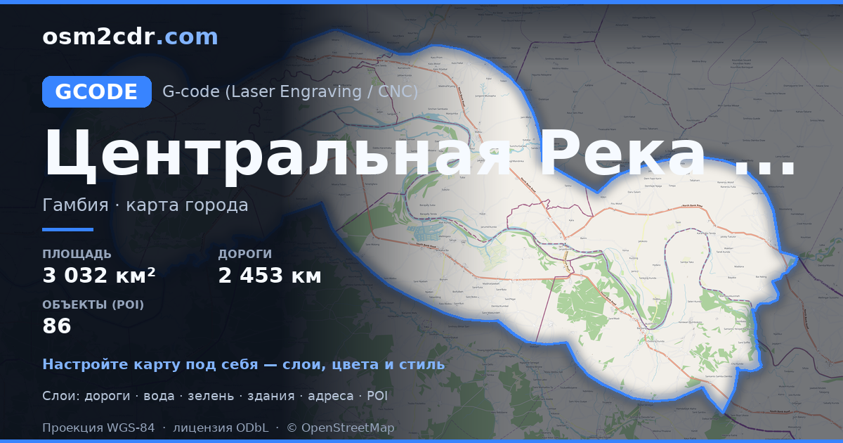
中河区 的地图,G-code 格式 — 所选区域真实 OpenStreetMap 数据的导出。
G-code is a CNC and laser engraver control language. Maps are converted to toolpaths for laser cutting or engraving.
文件中包含哪些图层
所选区域的该文件包含:
- 道路
- 建筑物
- 水域
- 绿地
- 兴趣点
坐标系
WGS 84 (EPSG:4326),可在向导中选择
兼容性
单位
米(在所选坐标系中投影)
| 类别 | GIS |
| 文件扩展名 | .gcode |
| 级别 | 免费 |
What's in the G-code map of 中河区
33,962 buildings (30,052 residential, 2 religious), 2,453.2 km of roads, 86 points of interest, 4 landmarks.
The area covers 3,032 km², with about 11 buildings per km².
Mostly unclassified roads 1,537.3 km, residential streets 441.3 km, trunk roads 288.8 km.
9.7% of the area is green space.
The map marks 5 parks and 6 water bodies.
Key amenities: schools — 20, hospitals — 2, marketplaces — 2.
Public transport: 13 bus stops.
Main streets: Janjanbureh Road, John Street
Landmarks: Embarquement Chimpanzees & Hippos, Stone circles, Epic view of Gambia river, heard a Hippo, didn’t see it…, Wassu Stone Circles Quarry Site
如何为 中河区 使用 G-code
- 在主页选择 中河区 的地图区域
- 选择 G-code 格式并配置导出设置
- 点击「导出」并等待处理完成
- 下载生成的文件并在所需程序中使用


