Loja地图 G-code格式
基于 OpenStreetMap 数据构建的地图,可供下载
地图档案
关于 G-code
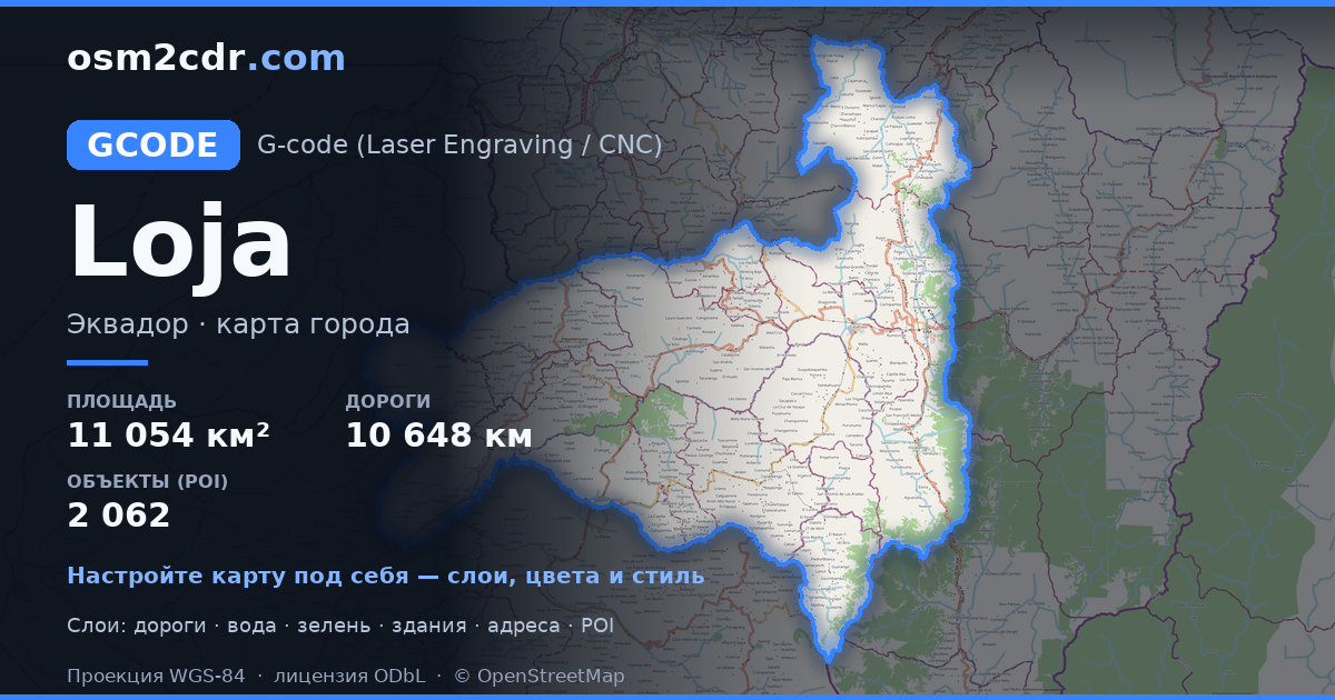
Loja 的地图,G-code 格式 — 所选区域真实 OpenStreetMap 数据的导出。
G-code is a CNC and laser engraver control language. Maps are converted to toolpaths for laser cutting or engraving.
文件中包含哪些图层
所选区域的该文件包含:
- 道路
- 建筑物
- 水域
- 绿地
- 兴趣点
坐标系
WGS 84 (EPSG:4326),可在向导中选择
兼容性
单位
米(在所选坐标系中投影)
| 类别 | GIS |
| 文件扩展名 | .gcode |
| 级别 | Free |
What's in the G-code map of Loja
33,260 buildings (3,569 residential, 121 commercial, 16 industrial, 73 religious), 10,648.7 km of roads, 2,062 points of interest, 15 landmarks.
Mostly unclassified roads 4,901.6 km, tertiary roads 1,679.4 km, residential streets 1,586.6 km.
14.7% of the area is green space.
Key amenities: schools — 177, pharmacies — 223, doctors — 38.
Main streets: Vía Loja - Portovelo, Vía Intervalles, Via a Santa Isabel, Jimbura - San Andrés, Pindal - MIlagros - Paletillas
Landmarks: El Cisne, Museo de arte religioso y colonial El Valle, Centro Cultural Waka, Ñaño casa museo, Casa de la Cultura de Pózul
如何为 Loja 使用 G-code
- 在主页选择 Loja 的地图区域
- 选择 G-code 格式并配置导出设置
- 点击「导出」并等待处理完成
- 下载生成的文件并在所需程序中使用


