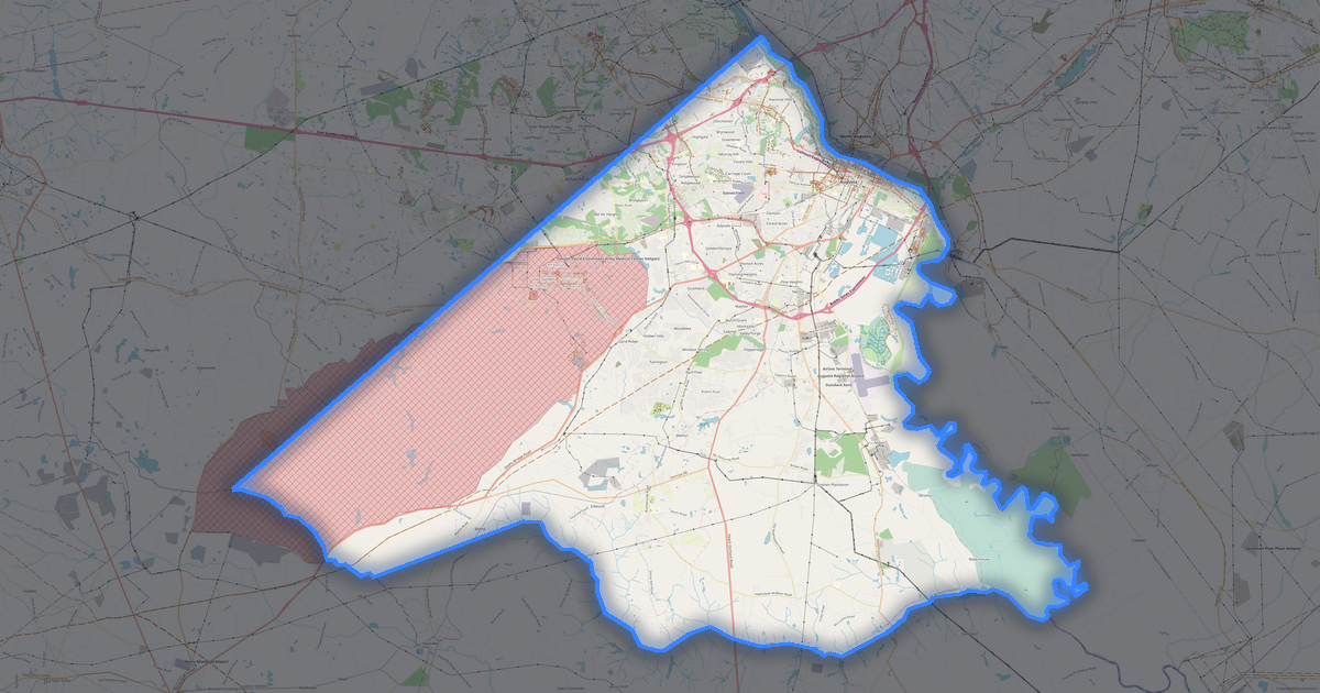
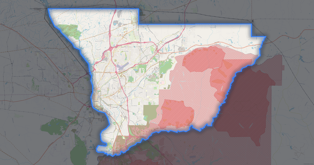
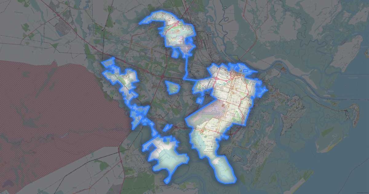
LaGrange地图 OBJ格式
基于 OpenStreetMap 数据构建的地图,可供下载
自定义地图
在构建器中打开该地点的区域并按需调整
在构建器中打开 →地图档案

关于 OBJ
LaGrange 的 OBJ 地图:10 691 座建筑物——采用 WGS 84 坐标系,单位为米。
文件中包含哪些图层
所选区域的该文件包含:
- 建筑物
各图层的几何图形
- 建筑物 — 由建筑轮廓拉伸而成的实体
文件承载的内容
LaGrange 的 OBJ 文件:要素以单一数据流给出,没有命名图层, 不保留 OpenStreetMap 标签——保留几何图形和样式, 要素高度会随之传递。
该文件不会包含的内容
在 LaGrange 的 OBJ 中,以下内容不会随附:791 公里道路, 14 个水域要素, 0.3 平方公里绿地, 387 个兴趣点——该格式打印由建筑轮廓拉伸而成的实体,其他图层不属于该模型。
文件大小
LaGrange 的 OBJ 文件预计大小约为 87 KB;确切大小取决于所选图层和区域。
坐标系
WGS 84 (EPSG:4326),可在向导中选择
兼容性
单位
米(在所选坐标系中投影)
| 类别 | 3D |
| 文件扩展名 | .obj |
| 级别 | Open Beta |
What's in the OBJ map of LaGrange
10,691 buildings (249 residential, 241 commercial, 51 industrial, 23 religious), 790.8 km of roads, 387 points of interest, 30 landmarks.
The area covers 97 km², with about 110 buildings per km².
Mostly residential streets 343.8 km, service roads 277.2 km, tertiary roads 60.0 km.
0.1% of the area is green space.
The map marks 7 parks and 14 water bodies.
Key amenities: schools — 19, pharmacies — 4, supermarkets — 7.
3D scene with 10,691 buildings for Blender, Cinema 4D, and other 3D editors.
Main streets: Mooty Bridge Road, South Davis Road, Roanoke Road, Pegasus Parkway, Old West Point Road
Landmarks: Sweetland Amphitheatre at Boyd Park, Callaway Auditorium, LaGrange Art Museum, LaGrange Art Museum, Shoal Creek Baptist Church
如何为 LaGrange 使用 OBJ
- 在主页选择 LaGrange 的地图区域
- 选择 OBJ 格式并配置导出设置
- 点击「导出」并等待处理完成
- 下载生成的文件并在所需程序中使用