Belize District地图 G-code格式
基于 OpenStreetMap 数据构建的地图,可供下载
地图档案
关于 G-code
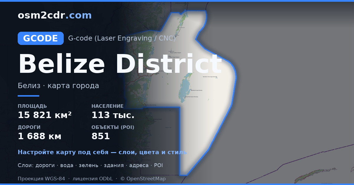
Belize District 的地图,G-code 格式 — 所选区域真实 OpenStreetMap 数据的导出。
G-code is a CNC and laser engraver control language. Maps are converted to toolpaths for laser cutting or engraving.
文件中包含哪些图层
所选区域的该文件包含:
- 道路
- 建筑物
- 水域
- 绿地
- 兴趣点
坐标系
WGS 84 (EPSG:4326),可在向导中选择
兼容性
单位
米(在所选坐标系中投影)
| 类别 | GIS |
| 文件扩展名 | .gcode |
| 级别 | Free |
What's in the G-code map of Belize District
35,791 buildings (1,754 residential, 168 commercial, 46 industrial, 29 religious), 1,688.7 km of roads, 851 points of interest, 15 landmarks.
Mostly residential streets 551.1 km, unclassified roads 361.9 km, service roads 333.6 km.
Key amenities: pharmacies — 16, supermarkets — 35, convenience stores — 215.
Main streets: Old Northern Highway, Coastal Plain Highway, Bermudian Landing Road, Honourable Heredia Jr. North Road, Rancho Dolores Road
Landmarks: Old Belize Exhibit, Shark & Ray alley, Hol Chan Cut, Shark, BELIZE sign
如何为 Belize District 使用 G-code
- 在主页选择 Belize District 的地图区域
- 选择 G-code 格式并配置导出设置
- 点击「导出」并等待处理完成
- 下载生成的文件并在所需程序中使用


