OSM 地图:无需进行 Shapefile → STL 转换,直接获取 STL
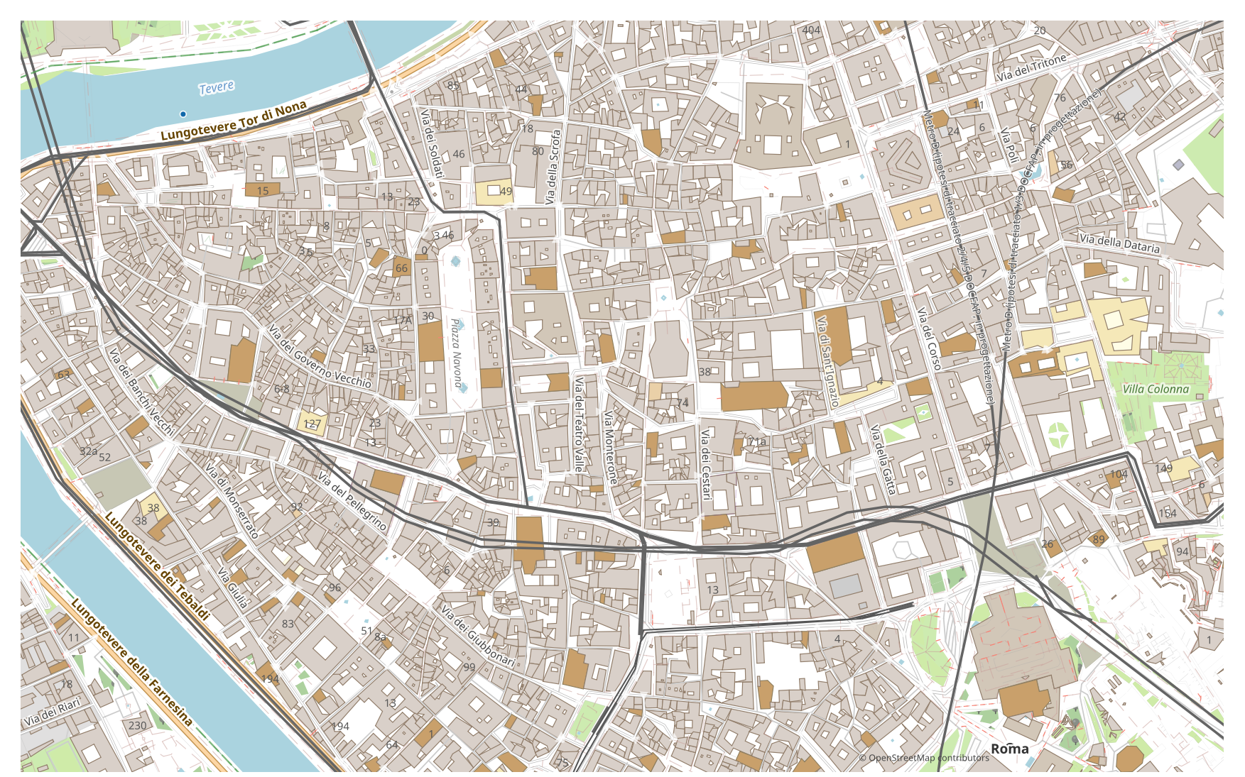
想把地图从 Shapefile 转换为 STL?如果您的数据来自 OpenStreetMap,就不需要中间的 Shapefile 文件:osm2cdr 直接从 OSM 源生成地图,并交给您一份现成的 STL。这比“下载 Shapefile → 上传到转换器 → 获取 STL”这一连串步骤更快、更准确:您在地图上选定一个区域,选择 STL 格式,即可下载带有最新 OSM 数据以及建筑、道路、水体和要素图层的结果。
Shapefile 与 STL 有何不同
| 格式 | 扩展名 | 类型 | 用途 |
|---|---|---|---|
| Shapefile | .shp | GIS | ArcGIS, QGIS, spatial analysis, cartography |
| STL | .stl | 3D | 3D printing city models, prototyping, architectural mockups, souvenir miniatures |
如何在 osm2cdr 上获取 STL
- 1在 osm2cdr 首页的地图上选择一个区域
- 2选择 STL 格式,如有需要还可选择样式和坐标参考系(CRS)
- 3点击“导出”并下载现成的 STL 文件
STL 格式属性
| 扩展名 | .stl |
| 类型 | 3D |
| 用途 | 3D printing city models, prototyping, architectural mockups, souvenir miniatures |
何时需要 STL
当您需要在专用程序中打开结果并继续处理地图时,STL 格式非常便利:编辑、打印、分析或将其嵌入项目。osm2cdr 交付的 STL 已按图层划分,并包含最新的 OpenStreetMap 数据,因此下载后文件即可直接使用。
Shapefile → STL 转换时会发生哪些变化
在 Shapefile → STL 转换中,二维建筑轮廓会按高度或楼层数拉伸为体块,而非面状对象(线和点)则被舍弃。结果面向 3D 打印和可视化。osm2cdr 从 OpenStreetMap 获取建筑轮廓并直接生成 STL,无需任何中间 Shapefile 文件。
如果您有自己的 Shapefile 文件(非 OSM 来源)
We do not convert third-party Shapefile files into STL: this output is closed for uploads. The Shapefile file itself is accepted, though — Shapefile → DXF, KML or GeoJSON are available through the upload form on those pair pages. For STL the third-party route remains: GDAL/ogr2ogr or QGIS — open the Shapefile and save the layer as STL.
The STL format in depth
STL — 3D Printing Format Since 1987: Binary vs ASCII, Slicers and OSM Building Export
常见问题:Shapefile → STL
我可以上传自己的 Shapefile 文件吗?
暂时还不行:我们目前不支持上传 Shapefile 文件,因此请使用 ogr2ogr 或 QGIS 将您的文件转换为 STL。而如果您的数据来自 OpenStreetMap,则完全不需要文件——osm2cdr 会直接将地图导出为 STL。
是免费的吗?
是的,在 osm2cdr 上将 OpenStreetMap 地图导出为 STL 是免费的。选择一个区域和 STL 格式,然后下载结果即可。
哪些程序可以打开 STL?
STL 格式可在其所属类别的专用程序中打开。完整列表和详情请见 STL 格式页面。
为什么这比在线 Shapefile → STL 转换器更好?
在线转换器会把结果质量限制在源 Shapefile 文件的质量上限。osm2cdr 直接从 OpenStreetMap 源获取数据,并以正确的图层生成 STL——不会因中间 Shapefile 文件而有损失。