Карта Denmark у форматі AI
Завантажте карту Denmark у форматі AI. Дані OpenStreetMap.
Генерація ~1–3 хв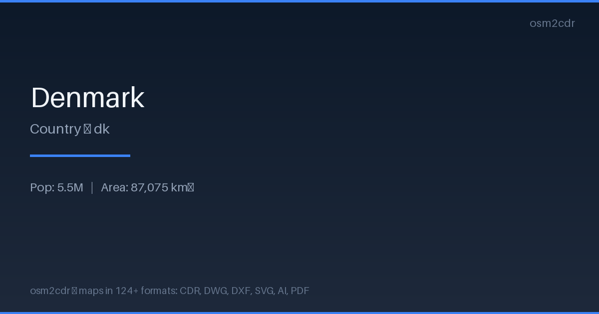
Map passport
Про формат AI
Native Adobe Illustrator format — the leading vector graphics editor. Preserves layers, color profiles, and effects for professional cartographic design work.
Застосування
- Cartographic design
- map layouts for magazines
- creating map-based logos
- print production
| Категорія | Vector |
| Розширення файлу | .ai |
| Рівень | Free |
What's in the AI map of Denmark
2,235,540 buildings (450,831 residential, 6,708 commercial, 7,240 industrial, 2,707 religious), 156,225.8 km of roads, 216,486 points of interest, 100 landmarks.
Mostly service roads 49,525.3 km, unclassified roads 31,996.2 km, residential streets 27,601.9 km.
Among the objects: parking — 58,223, parking_space — 24,981, bench — 23,230.
Adobe Illustrator file with 2,235,540 buildings and 216,486 objects. Full layered structure for design.
Main streets: Viborgvej, Hovedvejen, Hobrovej, Hovedvejen, Herningvej
Landmarks: Naturudstilling om Vadehavet, Frøken Fines Bonbonmuseum, Fejø Tekniske Museum, Hanne's Hus, Natur & Kultur formidlingscenter - Myrthuegård
How to use AI for Denmark
- Select the Denmark map area on the main page
- Choose AI format and configure export settings
- Click Export and wait for processing
- Download the file and use in your application