Map of Morocco in AI format
ดาวน์โหลดแผนที่ Morocco ในรูปแบบ AI ข้อมูล OpenStreetMap
การสร้างใช้เวลา ~1–3 นาที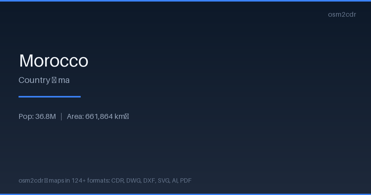
Map passport
เกี่ยวกับ AI
Native Adobe Illustrator format — the leading vector graphics editor. Preserves layers, color profiles, and effects for professional cartographic design work.
กรณีการใช้งาน
- Cartographic design
- map layouts for magazines
- creating map-based logos
- print production
| หมวดหมู่ | Vector |
| นามสกุลไฟล์ | .ai |
| ระดับ | Free |
What's in the AI map of Morocco
559,693 buildings (39,580 residential, 1,210 commercial, 595 industrial, 624 religious), 256,055.8 km of roads, 59,545 points of interest, 200 landmarks.
Mostly unclassified roads 81,835.3 km, tertiary roads 65,945.3 km, residential streets 53,676.2 km.
Among the objects: pharmacy — 6,749, cafe — 5,660, garden — 5,248.
Adobe Illustrator file with 559,693 buildings and 59,545 objects. Full layered structure for design.
Main streets: La Rocade Méditerranéenne الطريق الساحلية المتوسطية, الطريق الجهوي 702, الطريق الجهوي 108, الطريق الجهوي رقم 606, الطريق الجهوي رقم 105
Landmarks: Centre Culturel Ibn Khaldoune, Museum of Ceramics, Maison Traditionnelle, Le Musée Régional de la Résistance et de l'Armée de Liberation, Museum of Amazigh Culture
How to use AI for Morocco
- Select the Morocco map area on the main page
- Choose AI format and configure export settings
- Click Export and wait for processing
- Download the file and use in your application