Map of Estonia in AI format
ดาวน์โหลดแผนที่ Estonia ในรูปแบบ AI ข้อมูล OpenStreetMap
การสร้างใช้เวลา ~1–3 นาที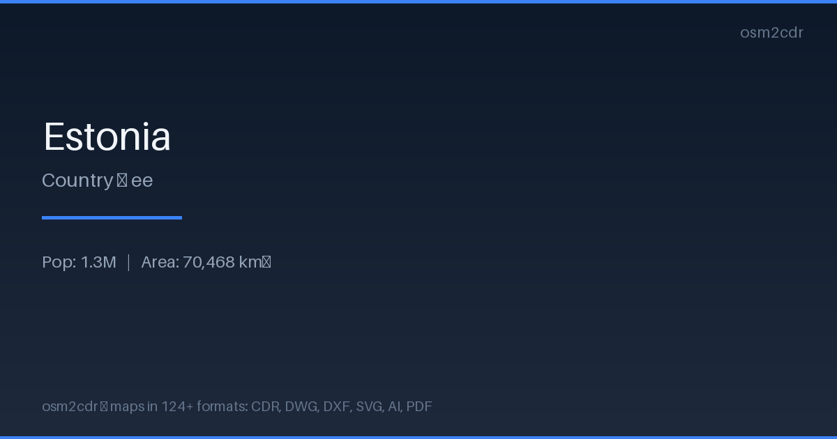
Map passport
เกี่ยวกับ AI
Native Adobe Illustrator format — the leading vector graphics editor. Preserves layers, color profiles, and effects for professional cartographic design work.
กรณีการใช้งาน
- Cartographic design
- map layouts for magazines
- creating map-based logos
- print production
| หมวดหมู่ | Vector |
| นามสกุลไฟล์ | .ai |
| ระดับ | Free |
What's in the AI map of Estonia
563,304 buildings (27,422 residential, 2,130 commercial, 1,390 industrial, 357 religious), 59,661.7 km of roads, 91,633 points of interest, 100 landmarks.
Mostly unclassified roads 20,619.5 km, tertiary roads 12,835.1 km, service roads 12,362.7 km.
Among the objects: parking_space — 34,203, parking — 13,770, bench — 12,221.
Adobe Illustrator file with 563,304 buildings and 91,633 objects. Full layered structure for design.
Main streets: Pärnu — Rakvere — Sõmeru, Risti — Virtsu — Kuivastu — Kuressaare, Valga — Uulu, Tartu — Viljandi — Kilingi-Nõmme, Tartu — Jõgeva — Aravete
Landmarks: Shloss Fall, Häädemeeste muuseum, Seljametsa muuseum, Tuglase muuseum, Johann Köleri kodukoht-muuseum
How to use AI for Estonia
- Select the Estonia map area on the main page
- Choose AI format and configure export settings
- Click Export and wait for processing
- Download the file and use in your application