Map of Cuvette Department in EPS format
ดาวน์โหลดแผนที่ Cuvette Department ในรูปแบบ EPS ข้อมูล OpenStreetMap
การสร้างใช้เวลา ~1–3 นาที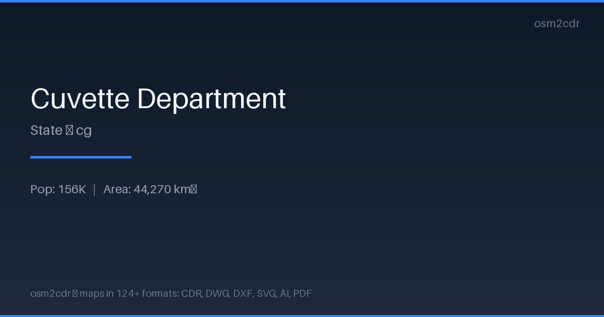
Map passport
Area44 270 km²
Buildings9 490
Roads2 744 km
Points of interest65
ProjectionWGS-84 (EPSG:4326)
LicenseODbL
Data sourceOpenStreetMap
เกี่ยวกับ EPS
Encapsulated PostScript — a print-industry standard for exchanging vector artwork. Supports CMYK color and raster previews, compatible with any professional software.
กรณีการใช้งาน
- Commercial printing
- layout exchange
- magazine and book layout
- prepress
| หมวดหมู่ | Vector |
| นามสกุลไฟล์ | .eps |
| ระดับ | Free |
What's in the EPS map of Cuvette Department
9,490 buildings (9 residential), 2,744.2 km of roads, 65 points of interest, 6 landmarks.
Mostly unclassified roads 1,289.9 km, residential streets 425.5 km, tertiary roads 287.5 km.
Among the objects: atm — 17, attraction — 9, guest_house — 9.
EPS map contains 9,490 buildings and 2,744.2 km of roads. Ready for professional printing and layout.
Main streets: Route de l'Aéroport
Landmarks: Canyon Vert, Monument au point de passage de l'Equateur, Obélisque Mossaka, Eglise d'Owando, Église catholique
How to use EPS for Cuvette Department
- Select the Cuvette Department map area on the main page
- Choose EPS format and configure export settings
- Click Export and wait for processing
- Download the file and use in your application
Programs that open EPS
Adobe IllustratorCorelDRAWQuarkXPressAdobe InDesignScribus