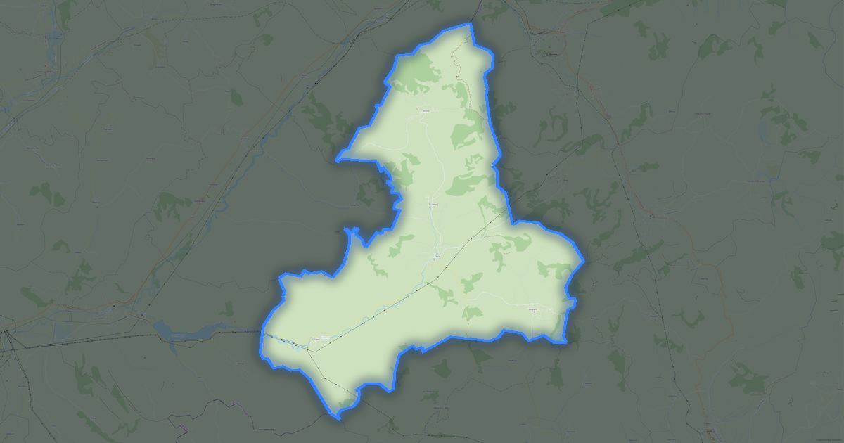
Map of Atid in Shapefile format
แผนที่ที่สร้างจากข้อมูล OpenStreetMap พร้อมดาวน์โหลด
ปรับแต่งแผนที่ตามต้องการ
เปิดพื้นที่ของสถานที่นี้ในตัวสร้างแล้วปรับทุกอย่างให้เหมาะกับงานของคุณ
เปิดในตัวสร้าง →ข้อมูลแผนที่
แผนที่นี้มีอะไรเป็นค่าเริ่มต้น
นี่คือวิธีที่แผนที่ถูกสร้าง «ตามที่เป็น» — ทุกการตั้งค่าสามารถเปลี่ยนได้ในตัวสร้าง
.shp
เกี่ยวกับ Shapefile
แผนที่ Atid ในรูปแบบ Shapefile: อาคาร 279 หลัง, ถนน 82 กม., จุดสนใจ 49 จุด, พื้นที่สีเขียว 98% — ในระบบพิกัด WGS 84 หน่วยเป็นเมตร
เลเยอร์ใดบ้างที่อยู่ในไฟล์
ไฟล์นี้สำหรับพื้นที่ที่เลือกประกอบด้วย:
- ถนน
- อาคาร
- น้ำ
- พื้นที่สีเขียว
- จุดสนใจ
เรขาคณิตแยกตามเลเยอร์
- ถนน — เส้น (LineString) พร้อมแท็กของ OpenStreetMap
- อาคาร — รูปหลายเหลี่ยม (Polygon) พร้อมแท็กของ OpenStreetMap
- น้ำ — รูปหลายเหลี่ยมของแหล่งน้ำและเส้นทางน้ำพร้อมแท็ก
- พื้นที่สีเขียว — รูปหลายเหลี่ยมของพื้นที่สีเขียวพร้อมแท็ก
- จุดสนใจ — จุด (Point) พร้อมชื่อและแท็ก
ไฟล์บรรจุอะไรบ้าง
ไฟล์ Shapefile สำหรับ Atid: ส่วนต่าง ๆ มาเป็นชุดไฟล์ภายในไฟล์บีบอัด ZIP, ไฟล์เป็นไบนารี — เปิดด้วยโปรแกรม ไม่ใช่โปรแกรมแก้ไขข้อความ, แต่ละเลเยอร์เป็นไฟล์แยกภายในไฟล์บีบอัด, แท็กของ OpenStreetMap ถูกเก็บไว้เป็นแอตทริบิวต์ของวัตถุ
ขนาดไฟล์
ขนาดที่คาดไว้ของไฟล์ Shapefile สำหรับ Atid อยู่ที่ประมาณ 356 KB ขนาดที่แน่นอนขึ้นอยู่กับเลเยอร์ที่เลือกและพื้นที่
ระบบพิกัด
WGS 84 (EPSG:4326) เลือกได้ในตัวช่วยสร้าง
หน่วยวัด
เมตร (ฉายภาพในระบบพิกัดที่เลือก)
| หมวดหมู่ | GIS |
| นามสกุลไฟล์ | .shp |
| ระดับ | Open Beta |
What's in the Shapefile map of Atid
279 buildings (24 residential, 4 religious), 81.5 km of roads, 49 points of interest, 9 landmarks.
The area covers 137 km², with about 2 buildings per km².
Mostly tertiary roads 28.9 km, residential streets 19.9 km, secondary roads 17.0 km.
The map marks 2 water bodies.
Key amenities: schools — 2, convenience stores — 2, museums — 3.
Public transport: 2 bus stops.
Shapefile with 279 buildings and 81.5 km of roads. Open in ArcGIS, QGIS, or any GIS software.
Main streets: Strada Vár, Strada Fő, Strada Hegyi, Strada Miklós, Strada Lugos
Landmarks: Tájház - Székely Mesterségek Múzeuma, Colecția Muzeală Sătească Atid, Muzeul Pălăriilor de Paie, Biserica reformată, Ansamblul bisericii reformate din Cușmed
วิธีใช้ Shapefile สำหรับ Atid
- เลือกพื้นที่แผนที่ Atid บนหน้าหลัก
- เลือกรูปแบบ Shapefile แล้วกำหนดค่าการส่งออก
- คลิก «ส่งออก» แล้วรอจนเสร็จ
- ดาวน์โหลดไฟล์ที่พร้อมแล้วใช้ในโปรแกรมที่ต้องการ
คำถามที่พบบ่อย: Shapefile สำหรับ Atid
ทำไม Shapefile จึงประกอบด้วยหลายไฟล์?
Shapefile เป็นชุดของไฟล์ .shp, .shx, .dbf และ .prj เราบรรจุไว้ในไฟล์ ZIP เพื่อความสะดวกในการดาวน์โหลด