Karta over Faroe Islands i PDF-format
Ladda ner kartan över Faroe Islands i PDF-format. OpenStreetMap-data.
Kartgenerering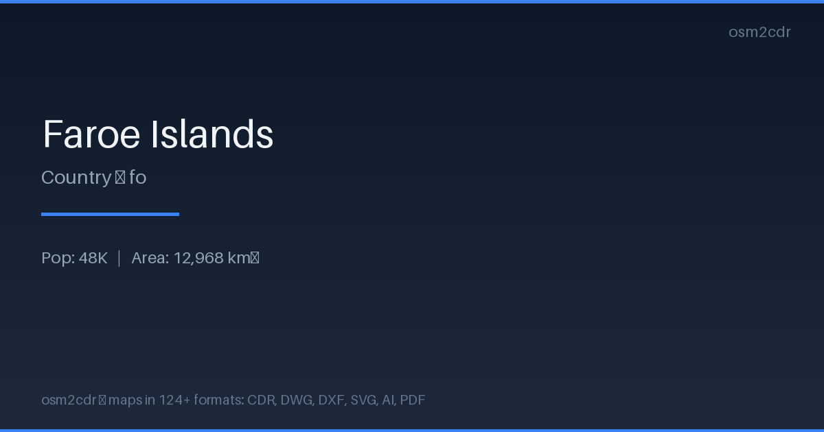
Map passport
Om PDF
Universal document format for printing and sharing. A PDF map preserves fonts, colors, and vector graphics on any device without distortion.
Användningsfall
- Map printing
- email sharing
- presentations
- commercial printing
- archiving
| Kategori | Vector |
| Filändelse | .pdf |
| Nivå | Free |
What's in the PDF map of Faroe Islands
23,595 buildings (1,873 residential, 40 commercial, 39 industrial, 66 religious), 1,481.3 km of roads, 3,223 points of interest, 50 landmarks.
Mostly residential streets 420.5 km, service roads 399.7 km, primary roads 221.8 km.
0.5% of the area is green space.
Among the objects: parking — 1,532, bench — 289, picnic_table — 236.
Print-ready map with 23,595 buildings, 50 landmarks and 1,481.3 km of roads.
Main streets: Sundalagsvegur, Oyggjarvegur, Eysturoyartunnilin, Kalsoyarvegur, Sandoyartunnilin
Landmarks: Hoyvíksgarður, Norðoya Fornminnasavn, Bygdarsavnið, Pakkhús 18, Látrið
How to use PDF for Faroe Islands
- Select the Faroe Islands map area on the main page
- Choose PDF format and configure export settings
- Click Export and wait for processing
- Download the file and use in your application
Programs that open PDF
FAQ: PDF for Faroe Islands
Can I edit the map in PDF?
PDF preserves vector graphics, so you can open the file in Adobe Illustrator or Inkscape and edit individual elements.
What will the file size be?
Size depends on area and detail level. A city district is 1-5 MB, a whole city is 10-50 MB.