Mapa Sodinga w formacie AI
A map built from OpenStreetMap data, ready to download

Download AIFree
Customize the map
Open this place's area in the constructor and adjust everything to your needs
Open in constructor →Map passport
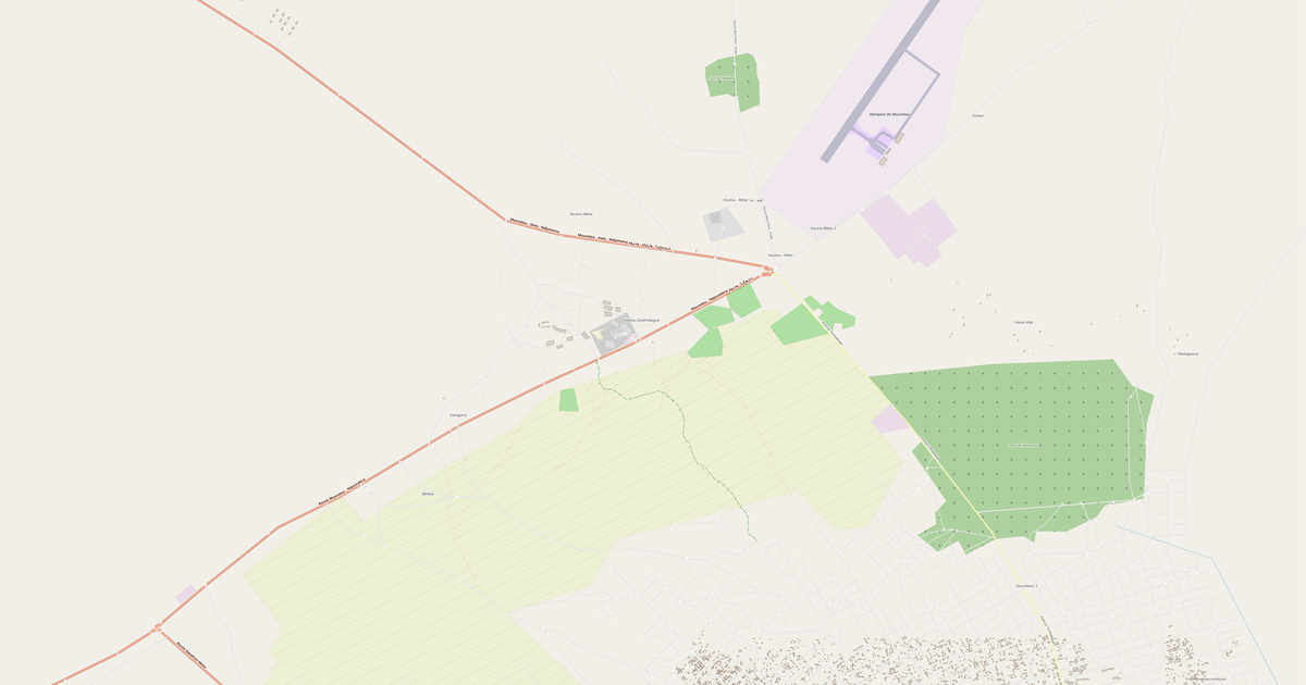
Area2.0 km²
Roads19 km
What this map contains by default
This is how the map is built as-is — every setting can be changed in the constructor.
O formacie AI
Map of Sodinga in AI — an export of real OpenStreetMap data for the selected area.
Native Adobe Illustrator format — the leading vector graphics editor. Preserves layers, color profiles, and effects for professional cartographic design work.
Which layers are in the file
This file for the selected area contains:
- Roads
- Water
Coordinate systems
WGS 84 (EPSG:4326), selectable in the wizard
Compatibility
Adobe IllustratorCorelDRAW (import)Affinity Designer
Units
Meters (projected in the chosen coordinate system)
| Kategoria | Vector |
| Rozszerzenie pliku | .ai |
| Poziom | Free |
What's in the AI map of Sodinga
19.0 km of roads.
Mostly trunk roads 19.0 km.
How to use AI for Sodinga
- Select the Sodinga map area on the main page
- Choose AI format and configure export settings
- Click Export and wait for processing
- Download the file and use in your application
Programs that open AI
Adobe IllustratorCorelDRAW (import)Affinity Designer