Mapa Netherlands w formacie EPS
Pobierz mapę Netherlands w formacie EPS. Dane OpenStreetMap.
Generowanie mapy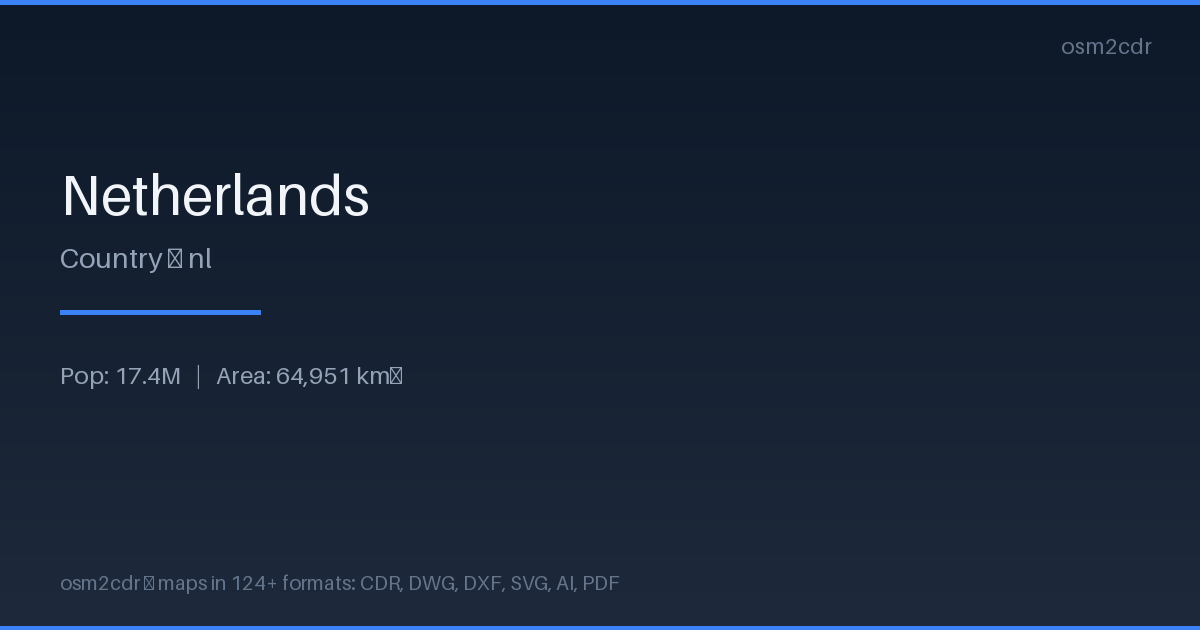
Map passport
Area64 951 km²
ProjectionWGS-84 (EPSG:4326)
LicenseODbL
Data sourceOpenStreetMap
O formacie EPS
Encapsulated PostScript — a print-industry standard for exchanging vector artwork. Supports CMYK color and raster previews, compatible with any professional software.
Zastosowania
- Commercial printing
- layout exchange
- magazine and book layout
- prepress
| Kategoria | Vector |
| Rozszerzenie pliku | .eps |
| Poziom | Free |
How to use EPS for Netherlands
- Select the Netherlands map area on the main page
- Choose EPS format and configure export settings
- Click Export and wait for processing
- Download the file and use in your application
Programs that open EPS
Adobe IllustratorCorelDRAWQuarkXPressAdobe InDesignScribus