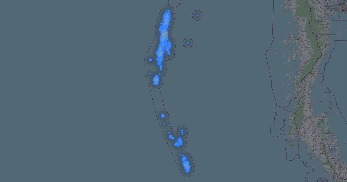
Map of Bihar in DGN format
OpenStreetMap ਡੇਟਾ ਤੋਂ ਬਣਿਆ ਨਕਸ਼ਾ, ਡਾਊਨਲੋਡ ਲਈ ਤਿਆਰ
ਨਕਸ਼ਾ ਅਨੁਕੂਲਿਤ ਕਰੋ
ਇਸ ਸਥਾਨ ਦਾ ਖੇਤਰ ਕੰਸਟ੍ਰਕਟਰ ਵਿੱਚ ਖੋਲ੍ਹੋ ਅਤੇ ਸਭ ਕੁਝ ਆਪਣੀ ਲੋੜ ਅਨੁਸਾਰ ਸੋਧੋ
ਕੰਸਟ੍ਰਕਟਰ ਵਿੱਚ ਖੋਲ੍ਹੋ →ਨਕਸ਼ਾ ਪਾਸਪੋਰਟ
ਇਸ ਨਕਸ਼ੇ ਵਿੱਚ ਮੂਲ ਰੂਪ ਵਿੱਚ ਕੀ ਹੈ
ਇਸ ਤਰ੍ਹਾਂ ਨਕਸ਼ਾ "ਜਿਵੇਂ ਹੈ" ਬਣਦਾ ਹੈ — ਹਰ ਸੈਟਿੰਗ ਕੰਸਟ੍ਰਕਟਰ ਵਿੱਚ ਬਦਲੀ ਜਾ ਸਕਦੀ ਹੈ।

DGN ਬਾਰੇ
Bihar ਦਾ ਨਕਸ਼ਾ DGN ਵਿੱਚ — ਚੁਣੇ ਗਏ ਖੇਤਰ ਲਈ ਅਸਲ OpenStreetMap ਡੇਟਾ ਦਾ ਨਿਰਯਾਤ।
DGN is the Bentley MicroStation format for infrastructure design. Standard for road and bridge engineering.
ਫ਼ਾਈਲ ਵਿੱਚ ਕਿਹੜੀਆਂ ਪਰਤਾਂ ਹਨ
ਚੁਣੇ ਗਏ ਖੇਤਰ ਲਈ ਇਸ ਫ਼ਾਈਲ ਵਿੱਚ ਸ਼ਾਮਲ ਹਨ:
- ਸੜਕਾਂ
- ਪਾਣੀ
- ਹਰਿਆਲੀ
ਨਿਰਦੇਸ਼ਾਂਕ ਪ੍ਰਣਾਲੀ
WGS 84 (EPSG:4326), ਵਿਜ਼ਾਰਡ ਵਿੱਚ ਚੁਣਨਯੋਗ
ਅਨੁਕੂਲਤਾ
ਇਕਾਈਆਂ
ਮੀਟਰ (ਚੁਣੀ ਗਈ ਨਿਰਦੇਸ਼ਾਂਕ ਪ੍ਰਣਾਲੀ ਵਿੱਚ ਪ੍ਰੋਜੈਕਟ ਕੀਤੇ)
| ਸ਼੍ਰੇਣੀ | GIS |
| ਫਾਈਲ ਐਕਸਟੈਂਸ਼ਨ | .dgn |
| ਪੱਧਰ | Open Beta |
What's in Bihar
194,713 buildings (4,023 residential, 217 commercial, 260 industrial, 67 religious), 196,814.1 km of roads, 3,901 points of interest, 15 landmarks.
The area covers 94,155 km², with about 2 buildings per km².
Mostly residential streets 94,941.3 km, unclassified roads 63,612.9 km, tertiary roads 16,630.3 km.
7% of the area is green space.
The map marks 5 parks and 6 water bodies.
Key amenities: colleges — 60, schools — 212, hospitals — 742.
Public transport: 63 bus stops, 127 tram stops, 3 metro stations, 679 rail stations.
Main streets: State Highway 65, Rewa -Kubauli-sarmastpur-Fatehabad Bandh(Dam), Mohan Road, Gaya-Sherghati Road, Sun Street
Landmarks: Srikrishna Science Museum, Prachin Bharat Multimedia Museum, Bapu Tower, Bihar Muesuem of Wax, Nalanda museum
Bihar ਲਈ DGN ਕਿਵੇਂ ਵਰਤੀਏ
- ਮੁੱਖ ਪੰਨੇ 'ਤੇ Bihar ਨਕਸ਼ਾ ਖੇਤਰ ਚੁਣੋ
- DGN ਫਾਰਮੈਟ ਚੁਣੋ ਅਤੇ ਨਿਰਯਾਤ ਸੈਟਿੰਗਾਂ ਕੌਨਫਿਗਰ ਕਰੋ
- ਨਿਰਯਾਤ 'ਤੇ ਕਲਿੱਕ ਕਰੋ ਅਤੇ ਪ੍ਰਕਿਰਿਆ ਦੀ ਉਡੀਕ ਕਰੋ
- ਫ਼ਾਈਲ ਡਾਊਨਲੋਡ ਕਰੋ ਅਤੇ ਆਪਣੀ ਐਪਲੀਕੇਸ਼ਨ ਵਿੱਚ ਵਰਤੋਂ
ਇਹ ਡਰਾਇੰਗ ਕਿਵੇਂ ਖੋਲ੍ਹਣੀ ਹੈ। ਇਕਾਈਆਂ: ਮੀਟਰ (ਪ੍ਰੋਜੈਕਟ ਕੀਤੇ ਨਿਰਦੇਸ਼ਾਂਕ, ਡਿਗਰੀਆਂ ਨਹੀਂ)। ਜੇ ਡਰਾਇੰਗ ਖਾਲੀ ਲੱਗਦੀ ਹੈ ਤਾਂ ਵੀ ਉਹ ਖਾਲੀ ਨਹੀਂ ਹੈ: Zoom Extents (ਸਭ ਵਿਖਾਓ) ਚਲਾਓ, ਨਕਸ਼ਾ ਦਿੱਸ ਜਾਵੇਗਾ। AutoCAD: ZOOM → E.