Map of Morocco in STL format
Last ned kartet over Morocco i STL-format. OpenStreetMap-data.
Kartgenerering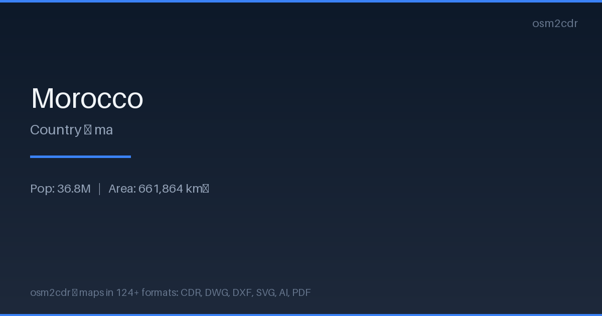
Map passport
Om STL
STL (Standard Tessellation Language) is the standard 3D printing format. Buildings and terrain are exported as a triangulated mesh ready for slicing software.
Bruksområder
- 3D printing city models
- prototyping
- architectural mockups
- souvenir miniatures
| Kategori | 3D |
| Filendelse | .stl |
| Nivå | Free |
What's in the STL map of Morocco
559,693 buildings (39,580 residential, 1,210 commercial, 595 industrial, 624 religious), 256,055.8 km of roads, 59,545 points of interest, 200 landmarks.
Mostly unclassified roads 81,835.3 km, tertiary roads 65,945.3 km, residential streets 53,676.2 km.
Among the objects: pharmacy — 6,749, cafe — 5,660, garden — 5,248.
3D model with 559,693 buildings for 3D printing. Each building is a separate volume with height.
Main streets: La Rocade Méditerranéenne الطريق الساحلية المتوسطية, الطريق الجهوي 702, الطريق الجهوي 108, الطريق الجهوي رقم 606, الطريق الجهوي رقم 105
Landmarks: Centre Culturel Ibn Khaldoune, Museum of Ceramics, Maison Traditionnelle, Le Musée Régional de la Résistance et de l'Armée de Liberation, Museum of Amazigh Culture
How to use STL for Morocco
- Select the Morocco map area on the main page
- Choose STL format and configure export settings
- Click Export and wait for processing
- Download the file and use in your application
Programs that open STL
FAQ: STL for Morocco
Can I 3D-print the map?
Yes! The STL file contains buildings with realistic height proportions. Open in Cura or PrusaSlicer and send to print.