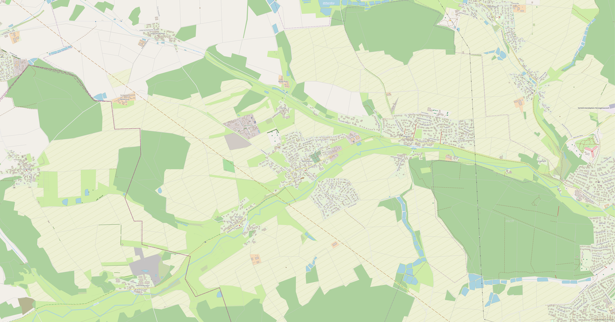
Kaart van Forth in OBJ-formaat
Kaart op basis van OpenStreetMap-gegevens, klaar om te downloaden
Pas de kaart aan
Open het gebied van deze plaats in de constructor en pas alles aan uw taak aan
In de constructor openen →Kaartpaspoort
Wat deze kaart standaard bevat
Zo wordt de kaart „as-is“ samengesteld — elke instelling kan in de constructor worden gewijzigd.
.obj
Over OBJ
Kaart van Forth in OBJ-formaat — een export van echte OpenStreetMap-gegevens voor het geselecteerde gebied.
Wavefront OBJ is a universal 3D model format with material support. Buildings are exported with texture coordinates and groups by type.
Welke lagen het bestand bevat
Dit bestand bevat voor het geselecteerde gebied:
- Wegen
- Gebouwen
- Water
- Groen
- Nuttige punten
Coördinatensystemen
WGS 84 (EPSG:4326), te kiezen in de wizard
Compatibiliteit
Maateenheden
Meters (geprojecteerd in het gekozen coördinatensysteem)
| Categorie | 3D |
| Bestandsextensie | .obj |
| Niveau | Gratis |
What's in the OBJ map of Forth
743 buildings (115 residential, 4 commercial, 4 industrial, 2 religious), 16.8 km of roads, 56 points of interest, 3 landmarks.
The area covers 1.3 km², with about 576 buildings per km².
Mostly residential streets 8.0 km, service roads 3.3 km, tertiary roads 1.6 km.
73.3% of the area is green space.
The map marks 1 water bodies.
Key amenities: schools — 1, kindergartens — 3, doctors — 2.
Public transport: 13 bus stops, 1 tram stops, 1 rail stations.
3D scene with 743 buildings for Blender, Cinema 4D, and other 3D editors.
Main streets: Forther Hauptstraße, Gotzmannstraße, Goethestraße, Kolpingstraße, Martin-Luther-Straße
Landmarks: Büger Schloss, Kreuzerhöhung, St. Anna-Kirche
Hoe u OBJ gebruikt voor Forth
- Selecteer het kaartgebied van Forth op de hoofdpagina
- Kies het formaat OBJ en stel de exportinstellingen in
- Klik op Exporteren en wacht tot het klaar is
- Download het voltooide bestand en gebruik het in het gewenste programma