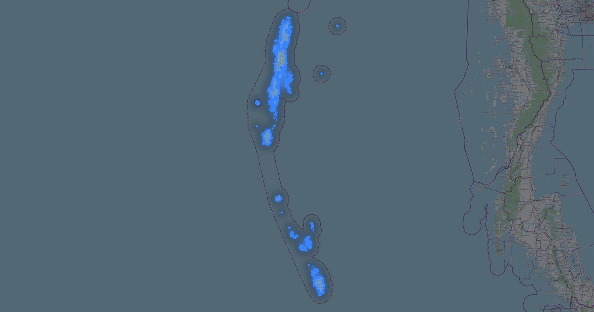
Kaart van Jharkhand in PostGIS SQL-formaat
Kaart op basis van OpenStreetMap-gegevens, klaar om te downloaden
Pas de kaart aan
Open het gebied van deze plaats in de constructor en pas alles aan uw taak aan
In de constructor openen →Kaartpaspoort
Wat deze kaart standaard bevat
Zo wordt de kaart „as-is“ samengesteld — elke instelling kan in de constructor worden gewijzigd.
.sql
Over PostGIS SQL
Kaart van Jharkhand in PostGIS SQL-formaat — een export van echte OpenStreetMap-gegevens voor het geselecteerde gebied.
PostGIS SQL is a geodata dump as an SQL script for PostgreSQL/PostGIS. CREATE TABLE + INSERT with geometry for direct database import.
Welke lagen het bestand bevat
Dit bestand bevat voor het geselecteerde gebied:
- Wegen
- Water
- Groen
Coördinatensystemen
WGS 84 (EPSG:4326), te kiezen in de wizard
Compatibiliteit
Maateenheden
Meters (geprojecteerd in het gekozen coördinatensysteem)
| Categorie | GIS |
| Bestandsextensie | .sql |
| Niveau | Open Beta |
What's in Jharkhand
22,011 buildings (790 residential, 88 commercial, 701 industrial, 423 religious), 71,716.1 km of roads, 2,641 points of interest, 15 landmarks.
The area covers 79,874 km², with about 0 buildings per km².
Mostly residential streets 28,468.2 km, unclassified roads 18,636.0 km, tertiary roads 10,689.9 km.
15.4% of the area is green space.
The map marks 5 parks and 10 water bodies.
Key amenities: schools — 47, hospitals — 650, clinics — 320.
Public transport: 104 bus stops, 93 tram stops, 336 rail stations.
Main streets: Ranchi Ring Road, Panki Road, Jharkhand Major District Road 48, Giridih-Jamua Road, Jonha - Purabdih Road
Landmarks: Jainism Museum, Geological Museum, Morabadi Museum, Namudag garh Fort, Rajrappa Temple
Hoe u PostGIS SQL gebruikt voor Jharkhand
- Selecteer het kaartgebied van Jharkhand op de hoofdpagina
- Kies het formaat PostGIS SQL en stel de exportinstellingen in
- Klik op Exporteren en wacht tot het klaar is
- Download het voltooide bestand en gebruik het in het gewenste programma