Map of Bolivia in EPS format
Muat turun peta Bolivia dalam format EPS. Data OpenStreetMap.
Penjanaan peta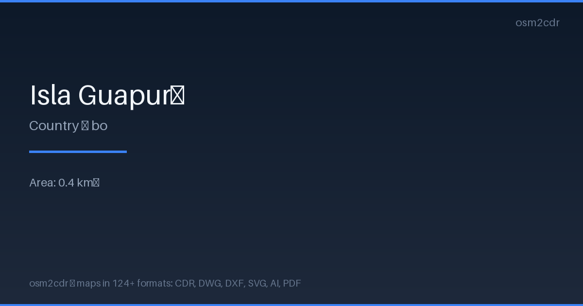
Map passport
Area0.4 km²
Buildings6
Roads41 km
ProjectionWGS-84 (EPSG:4326)
LicenseODbL
Data sourceOpenStreetMap
Tentang EPS
Encapsulated PostScript — a print-industry standard for exchanging vector artwork. Supports CMYK color and raster previews, compatible with any professional software.
Kes penggunaan
- Commercial printing
- layout exchange
- magazine and book layout
- prepress
| Kategori | Vector |
| Sambungan fail | .eps |
| Tahap | Free |
What's in the EPS map of Bolivia
6 buildings, 40.6 km of roads.
Mostly trunk roads 40.6 km.
63.6% of the area is green space.
EPS map contains 6 buildings and 40.6 km of roads. Ready for professional printing and layout.
How to use EPS for Bolivia
- Select the Bolivia map area on the main page
- Choose EPS format and configure export settings
- Click Export and wait for processing
- Download the file and use in your application
Programs that open EPS
Adobe IllustratorCorelDRAWQuarkXPressAdobe InDesignScribus