VichadaのTIFF形式マップ
Vichadaの地図をTIFF形式でダウンロード。OpenStreetMapデータ、即時生成。
生成には約1〜3分かかります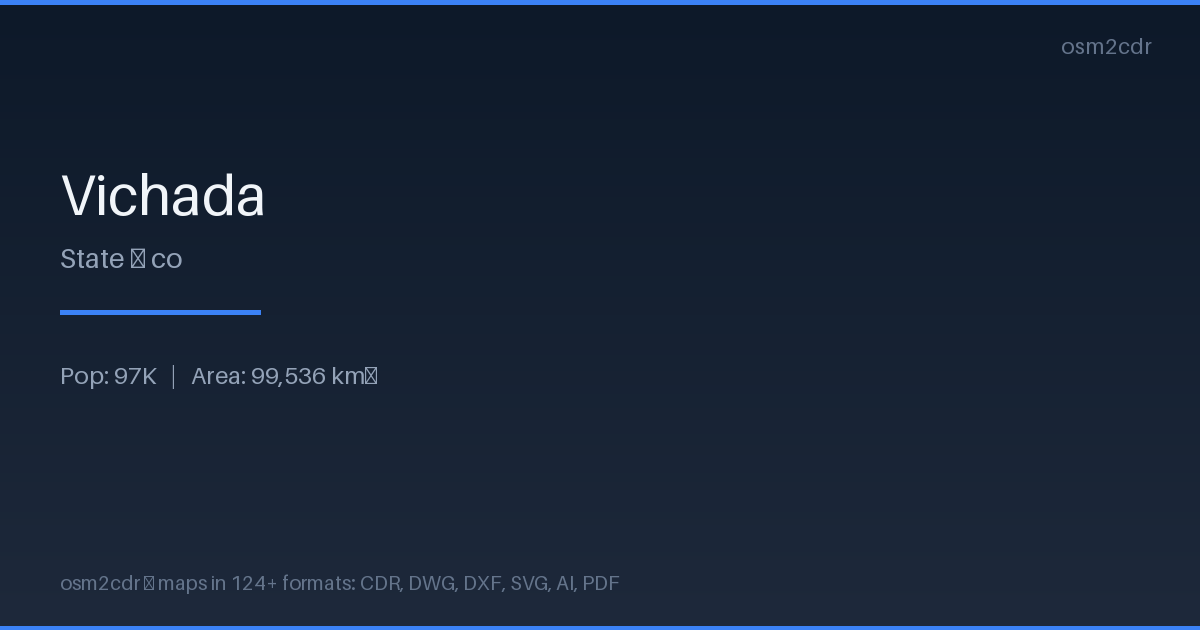
Map passport
Area99 536 km²
Buildings5 296
Roads2 630 km
Points of interest402
ProjectionWGS-84 (EPSG:4326)
LicenseODbL
Data sourceOpenStreetMap
TIFFについて
TIFF is a lossless raster image format. Supports CMYK, 16-bit, and transparency for the print industry.
使用例
- Print industry
- archiving
- professional photography
- prepress
| カテゴリ | Raster |
| ファイル拡張子 | .tif |
| レベル | Free |
What's in the TIFF map of Vichada
5,296 buildings (45 residential, 1 commercial, 2 religious), 2,629.7 km of roads, 402 points of interest, 11 landmarks.
Mostly unclassified roads 1,757.9 km, trunk roads 517.1 km, residential streets 288.0 km.
Among the objects: schools — 173, community_centre — 58, alpine_hut — 54.
Main streets: Calle 18, Calle 16, Carrera 10, Calle 20, Carrera 8
Landmarks: El Balancín, Playa Bonita, Estadero La Soga, Manga de Coleo, Centro Recreacional El Cacique
How to use TIFF for Vichada
- Select the Vichada map area on the main page
- Choose TIFF format and configure export settings
- Click Export and wait for processing
- Download the file and use in your application
Programs that open TIFF
Adobe PhotoshopGIMPAffinity PhotoIrfanViewXnView