Torba地图 NetCDF格式
下载 Torba 的 NetCDF 格式地图。OpenStreetMap 数据,即时生成。
生成需要约 1-3 分钟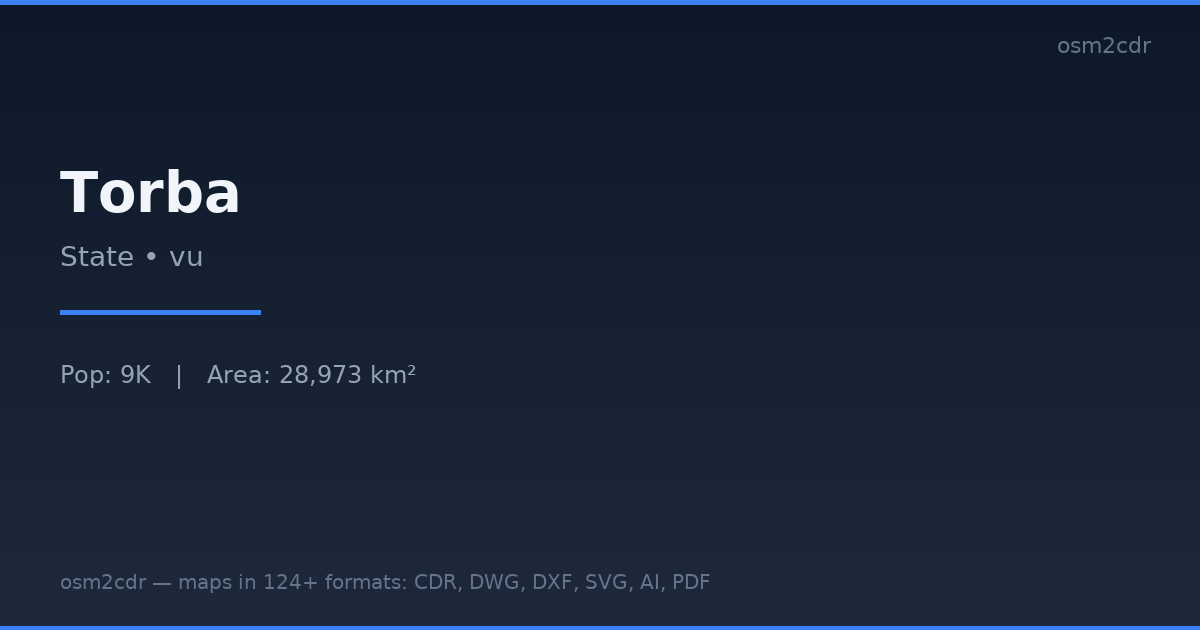
Map passport
Area28 973 km²
Buildings8 830
Roads53 km
Points of interest7
ProjectionWGS-84 (EPSG:4326)
LicenseODbL
Data sourceOpenStreetMap
关于 NetCDF
NetCDF (Network Common Data Form) is a format for multidimensional scientific data. Standard in meteorology, oceanography, and climatology.
使用场景
- Climate models
- weather forecasting
- oceanography
- data analysis
| 类别 | GIS |
| 文件扩展名 | .nc |
| 级别 | Free |
What's in the NetCDF map of Torba
8,830 buildings (196 residential, 2 religious), 52.8 km of roads, 7 points of interest, 1 landmarks.
Mostly unclassified roads 25.6 km, tertiary roads 23.9 km, residential streets 2.3 km.
1.1% of the area is green space.
Among the objects: viewpoint — 3, banks — 1, schools — 1.
Main streets: Sola-Vétuboso Road
Landmarks: Anglican Church
How to use NetCDF for Torba
- Select the Torba map area on the main page
- Choose NetCDF format and configure export settings
- Click Export and wait for processing
- Download the file and use in your application
Programs that open NetCDF
xarrayCDONCOPanoplyQGISGDALMATLAB