Carte de Torba au format DuckDB
Téléchargez la carte de Torba au format DuckDB. Données OpenStreetMap, génération instantanée.
Génération de carte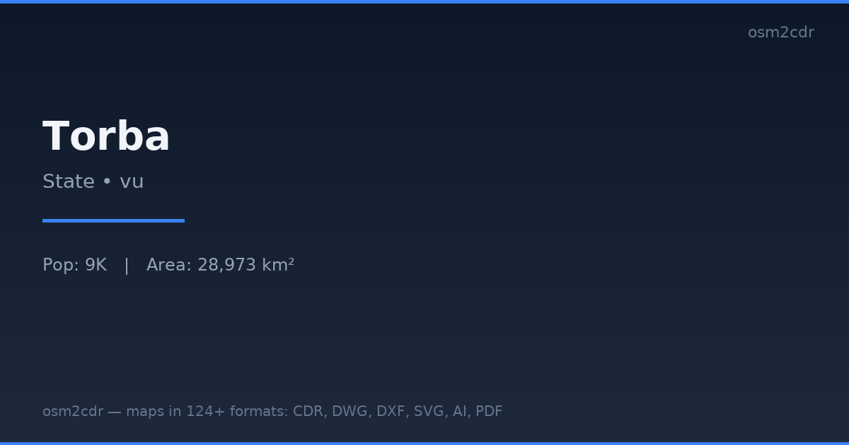
Map passport
Area28 973 km²
Buildings8 830
Roads53 km
Points of interest7
ProjectionWGS-84 (EPSG:4326)
LicenseODbL
Data sourceOpenStreetMap
À propos de DuckDB
DuckDB Spatial is an embeddable analytical database with geospatial extension. SQL analytics over geodata without a server.
Cas d'utilisation
- Local geoanalytics
- Jupyter notebooks
- ETL pipelines
- PostGIS alternative for analysis
| Catégorie | SIG |
| Extension de fichier | .duckdb |
| Niveau | Free |
What's in the DuckDB map of Torba
8,830 buildings (196 residential, 2 religious), 52.8 km of roads, 7 points of interest, 1 landmarks.
Mostly unclassified roads 25.6 km, tertiary roads 23.9 km, residential streets 2.3 km.
1.1% of the area is green space.
Among the objects: viewpoint — 3, banks — 1, schools — 1.
Main streets: Sola-Vétuboso Road
Landmarks: Anglican Church
How to use DuckDB for Torba
- Select the Torba map area on the main page
- Choose DuckDB format and configure export settings
- Click Export and wait for processing
- Download the file and use in your application
Programs that open DuckDB
DuckDB CLIPython (duckdb)dbtObservableQGIS (plugin)