Carte de Somali au format KOMPAS
Téléchargez la carte de Somali au format KOMPAS. Données OpenStreetMap, génération instantanée.
Génération de carte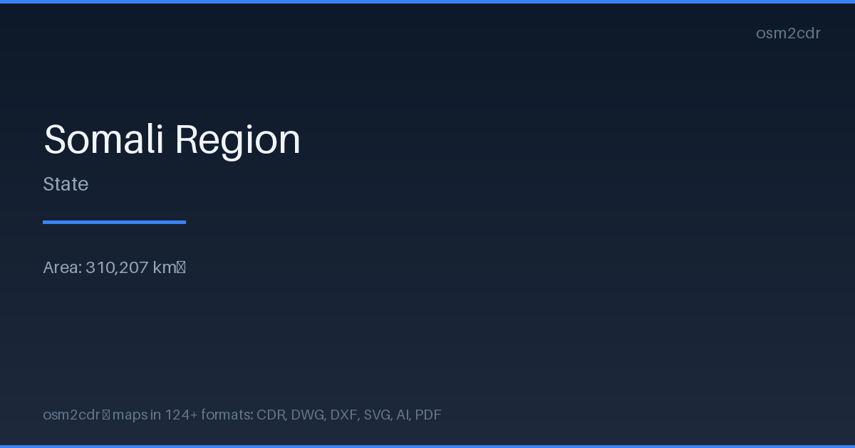
Map passport
Area310 207 km²
Buildings27 500
Roads168 265 km
Points of interest3 869
ProjectionWGS-84 (EPSG:4326)
LicenseODbL
Data sourceOpenStreetMap
À propos de KOMPAS
KOMPAS-3D is a Russian CAD system by ASCON. DXF export optimized for KOMPAS import with layer and scale preservation.
Cas d'utilisation
- KOMPAS-3D
- Russian CAD projects
- engineering documentation
- GOST drawings
| Catégorie | CAO |
| Extension de fichier | .dxf |
| Niveau | Free |
What's in the KOMPAS map of Somali
27,500 buildings (364 residential, 46 commercial, 81 industrial, 36 religious), 168,264.8 km of roads, 3,869 points of interest, 200 landmarks.
Mostly unclassified roads 115,102.7 km, residential streets 23,121.4 km, tertiary roads 15,187.1 km.
Among the objects: place_of_worship — 911, viewpoint — 400, hotels — 367.
Main streets: Yirgalem-Negele Road, Itiya - Robe - Gasera Road, Muke Turi - Dessie, Robe/Imi Road, Sembo to Mojo
Landmarks: Harar cultural museum, Arthur-Rimbaud-Museum, Sherif Harar City Museum, Museum متحف, selam motel
How to use KOMPAS for Somali
- Select the Somali map area on the main page
- Choose KOMPAS format and configure export settings
- Click Export and wait for processing
- Download the file and use in your application
Programs that open KOMPAS
KOMPAS-3DKOMPAS-GraphicNanoCADAutoCADBricsCAD