Map of Agago in PostScript format
Преузмите карту Agago у PostScript формату. OpenStreetMap подаци.
Генерисање карте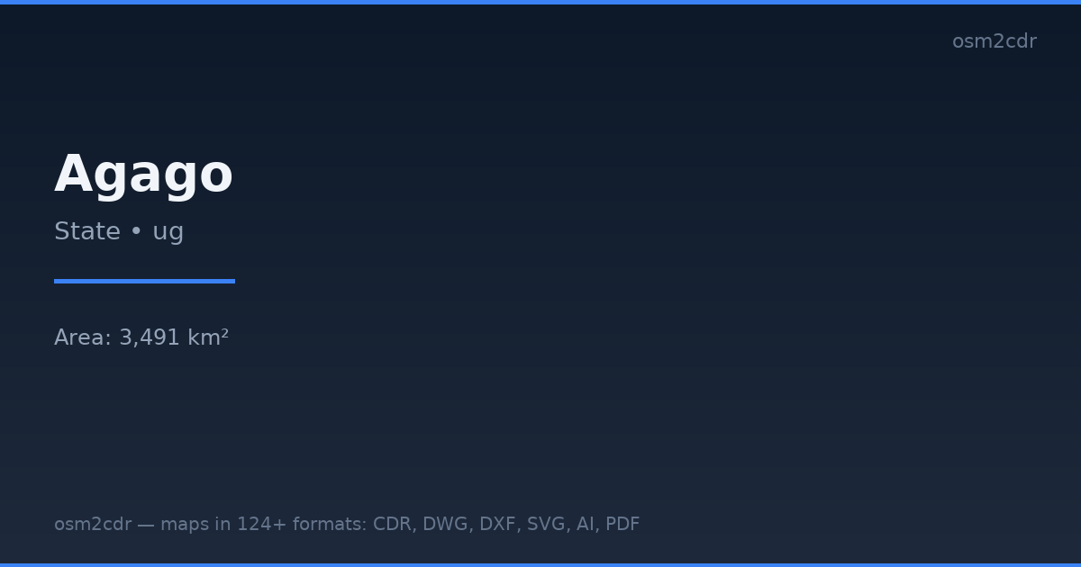
Map passport
Area3 491 km²
Buildings76 526
Roads1 901 km
Points of interest185
ProjectionWGS-84 (EPSG:4326)
LicenseODbL
Data sourceOpenStreetMap
О формату PostScript
PostScript is Adobe's page description language. Professional format for typographic printing and PostScript printers.
Примене
- Typographic printing
- professional printers
- prepress
| Категорија | GIS |
| Екстензија фајла | .ps |
| Ниво | Free |
What's in the PostScript map of Agago
76,526 buildings (185 residential, 2 commercial, 4 industrial), 1,900.8 km of roads, 185 points of interest, 1 landmarks.
Mostly unclassified roads 1,197.0 km, secondary roads 300.1 km, tertiary roads 211.8 km.
20.6% of the area is green space.
Among the objects: schools — 154, wilderness_hut — 10, hospital — 8.
Landmarks: opoto massacre memorial
How to use PostScript for Agago
- Select the Agago map area on the main page
- Choose PostScript format and configure export settings
- Click Export and wait for processing
- Download the file and use in your application
Programs that open PostScript
GhostscriptAdobe AcrobatInkscapeScribusLaTeX