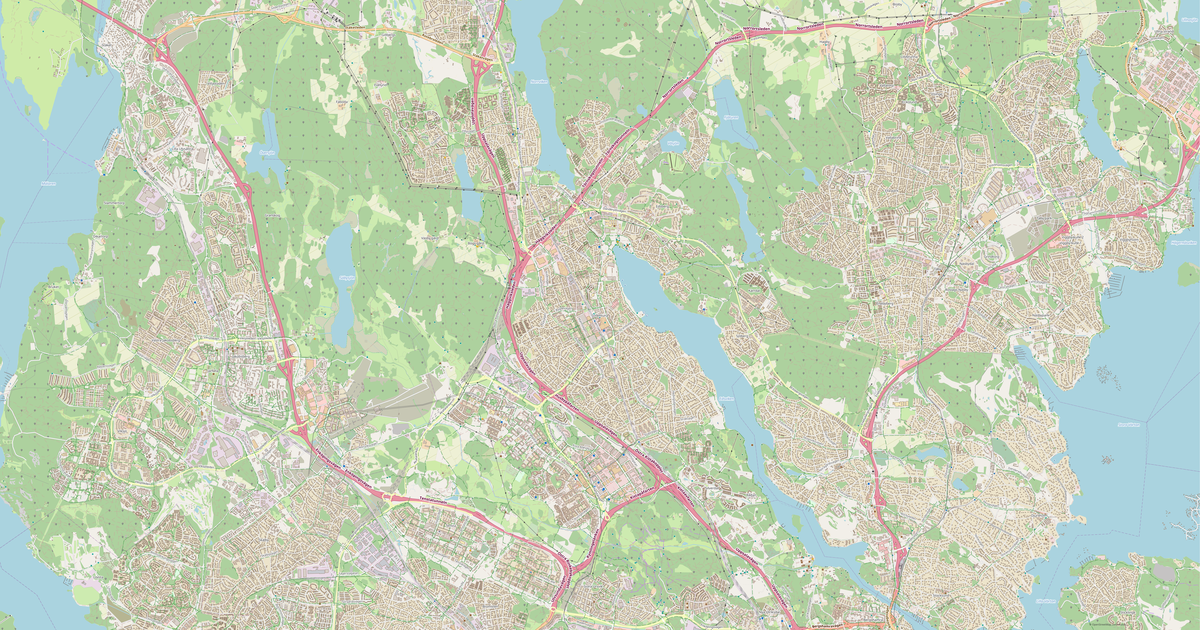
Map of Solna in Shapefile format
A map built from OpenStreetMap data, ready to download
Customize the map
Open this place's area in the constructor and adjust everything to your needs
Open in constructor →Map passport
What this map contains by default
This is how the map is built as-is — every setting can be changed in the constructor.

About Shapefile
Map of Solna in Shapefile — an export of real OpenStreetMap data for the selected area.
Shapefile — ESRI GIS format. De-facto standard for geodata exchange between GIS systems.
Which layers are in the file
This file for the selected area contains:
- Roads
- Buildings
- Water
- Greenery
- Points of interest
Coordinate systems
WGS 84 (EPSG:4326), selectable in the wizard
Units
Meters (projected in the chosen coordinate system)
| Category | GIS |
| File extension | .shp |
| Tier | Free |
What's in the Shapefile map of Solna
13,622 buildings (8,432 residential, 417 commercial, 155 industrial, 31 religious), 981.8 km of roads, 8,436 points of interest, 30 landmarks.
The area covers 51 km², with about 269 buildings per km².
Mostly residential streets 259.6 km, cycleways 221.6 km, service roads 218.9 km.
49.1% of the area is green space.
The map marks 133 parks and 20 water bodies.
Key amenities: kindergartens — 133, restaurants — 587, cafes — 165.
Public transport: 578 bus stops, 73 tram stops, 19 metro stations, 22 rail stations.
Shapefile with 13,622 buildings and 981.8 km of roads. Open in ArcGIS, QGIS, or any GIS software.
Main streets: Enköpingsvägen, Drottningholmsvägen, Ulvsundavägen, Frösundaleden, Solnavägen
Landmarks: Haga Parkmuseum, Bellmanmuséet, Svergies museum om Förintelsen, Museet för drottning Kristinas kröningsekipage, Orangerimuseet
How to use Shapefile for Solna
- Select the Solna map area on the main page
- Choose Shapefile format and configure export settings
- Click Export and wait for processing
- Download the file and use in your application
FAQ: Shapefile for Solna
Why does Shapefile consist of multiple files?
Shapefile is a set of .shp, .shx, .dbf, and .prj files. We package them into a ZIP archive for convenient downloading.