Map of Mandoul in KOMPAS format
Laadige alla Mandoul kaart KOMPAS formaadis. OpenStreetMap andmed.
Kaardi genereerimine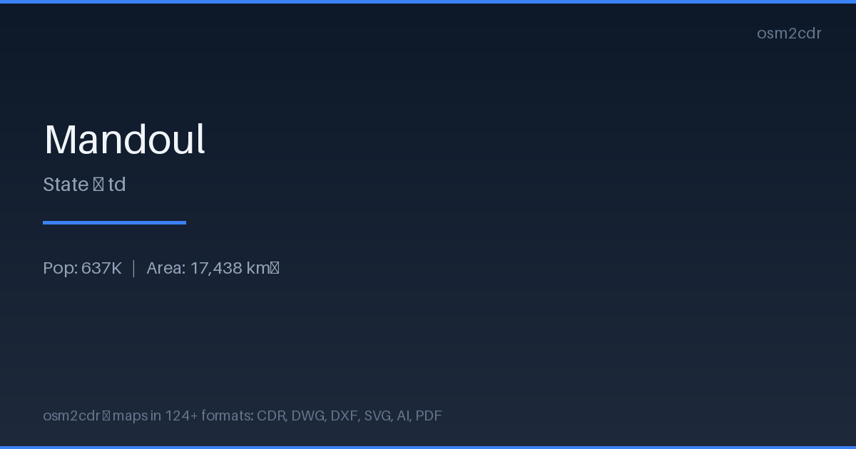
Map passport
Area17 438 km²
Buildings367 980
Roads7 213 km
Points of interest28
ProjectionWGS-84 (EPSG:4326)
LicenseODbL
Data sourceOpenStreetMap
Teave KOMPAS
KOMPAS-3D is a Russian CAD system by ASCON. DXF export optimized for KOMPAS import with layer and scale preservation.
Kasutusjuhud
- KOMPAS-3D
- Russian CAD projects
- engineering documentation
- GOST drawings
| Kategooria | CAD |
| Faililaiend | .dxf |
| Tase | Free |
What's in the KOMPAS map of Mandoul
367,980 buildings (749 residential, 2 religious), 7,212.9 km of roads, 28 points of interest.
Mostly unclassified roads 4,502.6 km, tertiary roads 1,329.0 km, residential streets 757.6 km.
13.2% of the area is green space.
Among the objects: marketplace — 10, ferry_terminal — 3, clinic — 2.
Main streets: Moissala road, San Marcos
How to use KOMPAS for Mandoul
- Select the Mandoul map area on the main page
- Choose KOMPAS format and configure export settings
- Click Export and wait for processing
- Download the file and use in your application
Programs that open KOMPAS
KOMPAS-3DKOMPAS-GraphicNanoCADAutoCADBricsCAD