Mapa de Hadjer-Lamis en formato PSD
Descargue el mapa de Hadjer-Lamis en formato PSD. Datos de OpenStreetMap, generación instantánea.
Generación de mapa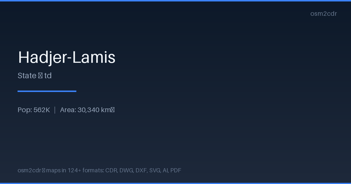
Map passport
Area30 340 km²
Buildings82 387
Roads9 166 km
Points of interest139
ProjectionWGS-84 (EPSG:4326)
LicenseODbL
Data sourceOpenStreetMap
Sobre PSD
PSD is the Adobe Photoshop format with layer structure. Maps are exported with layers for editing in Photoshop.
Casos de uso
- Photomontage
- design
- map retouching
- creating geography-based collages
| Categoría | Vector |
| Extensión de archivo | .psd |
| Nivel | Free |
What's in the PSD map of Hadjer-Lamis
82,387 buildings (1,360 residential, 29 commercial, 3 religious), 9,165.7 km of roads, 139 points of interest, 8 landmarks.
Mostly unclassified roads 5,466.0 km, residential streets 1,510.9 km, tertiary roads 982.6 km.
1.2% of the area is green space.
Among the objects: marketplace — 46, clinic — 17, water_point — 16.
Main streets: Route nationale N'Djaména - Massakory - Faya-Largeau
Landmarks: Jardin Ambourou, Rond point 100ans, المسجد الدعوة, مسجد الشيخ ناصر الشيباني, Dilema Mosque
How to use PSD for Hadjer-Lamis
- Select the Hadjer-Lamis map area on the main page
- Choose PSD format and configure export settings
- Click Export and wait for processing
- Download the file and use in your application
Programs that open PSD
Adobe PhotoshopGIMPAffinity PhotoKritaPhotopea