Mapa Sila ve formatu EPS
Stáhněte mapu Sila ve formátu EPS. Data OpenStreetMap.
Generování mapy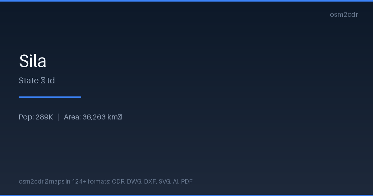
Map passport
O formátu EPS
Encapsulated PostScript — a print-industry standard for exchanging vector artwork. Supports CMYK color and raster previews, compatible with any professional software.
Využití
- Commercial printing
- layout exchange
- magazine and book layout
- prepress
| Kategorie | Vector |
| Přípona souboru | .eps |
| Úroveň | Free |
What's in the EPS map of Sila
271,411 buildings (1,868 residential, 1 industrial, 3 religious), 6,626.7 km of roads, 95 points of interest.
Mostly unclassified roads 4,443.4 km, residential streets 1,226.0 km, secondary roads 539.2 km.
1.4% of the area is green space.
Among the objects: drinking_water — 48, marketplace — 14, clinic — 9.
EPS map contains 271,411 buildings and 6,626.7 km of roads. Ready for professional printing and layout.
Main streets: Am Timan - Kerfi Rd طريق ام تيمان - كرفي, Goz Beida - Beida Road, Kerfi - Goz Beida Rd طريق كرفي - قوز بيضة, Tonbola _ Dogdoré Route
How to use EPS for Sila
- Select the Sila map area on the main page
- Choose EPS format and configure export settings
- Click Export and wait for processing
- Download the file and use in your application