Map of Rogaland in JPEG format
Κατεβάστε τον χάρτη Rogaland σε μορφή JPEG. Δεδομένα OpenStreetMap.
Η δημιουργία διαρκεί ~1-3 λεπτά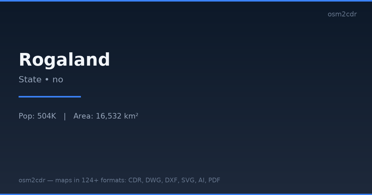
Map passport
Area16 532 km²
Buildings305 746
Roads13 822 km
Points of interest8 275
ProjectionWGS-84 (EPSG:4326)
LicenseODbL
Data sourceOpenStreetMap
Σχετικά με JPEG
JPEG is a universal photo format with adjustable compression. Compact map file for documents and web publishing.
Περιπτώσεις χρήσης
- Web publishing
- social media
- presentations
- email newsletters
| Κατηγορία | GIS |
| Επέκταση αρχείου | .jpg |
| Επίπεδο | Free |
What's in the JPEG map of Rogaland
305,746 buildings (109,727 residential, 4,611 commercial, 4,491 industrial, 179 religious), 13,822.5 km of roads, 8,275 points of interest, 15 landmarks.
Mostly service roads 5,299.9 km, residential streets 2,195.6 km, secondary roads 1,820.2 km.
Among the objects: bench — 1,540, picnic_table — 1,056, information — 866.
Main streets: Saudavegen, Hunnedalsvegen, Nordsjøvegen, Sokndalsveien, Nedstrandsvegen
Landmarks: Time bygdemuseum, Riska histore- og museumslag, Fjøløy Fort, Bilstadhuset, Besøkssenter våtmark Jæren
How to use JPEG for Rogaland
- Select the Rogaland map area on the main page
- Choose JPEG format and configure export settings
- Click Export and wait for processing
- Download the file and use in your application
Programs that open JPEG
All browsersPhotoshopGIMPany image viewer