Map of Pasay in WebP format
Lejupielādējiet Pasay karti WebP formātā. OpenStreetMap dati.
Kartes ģenerēšana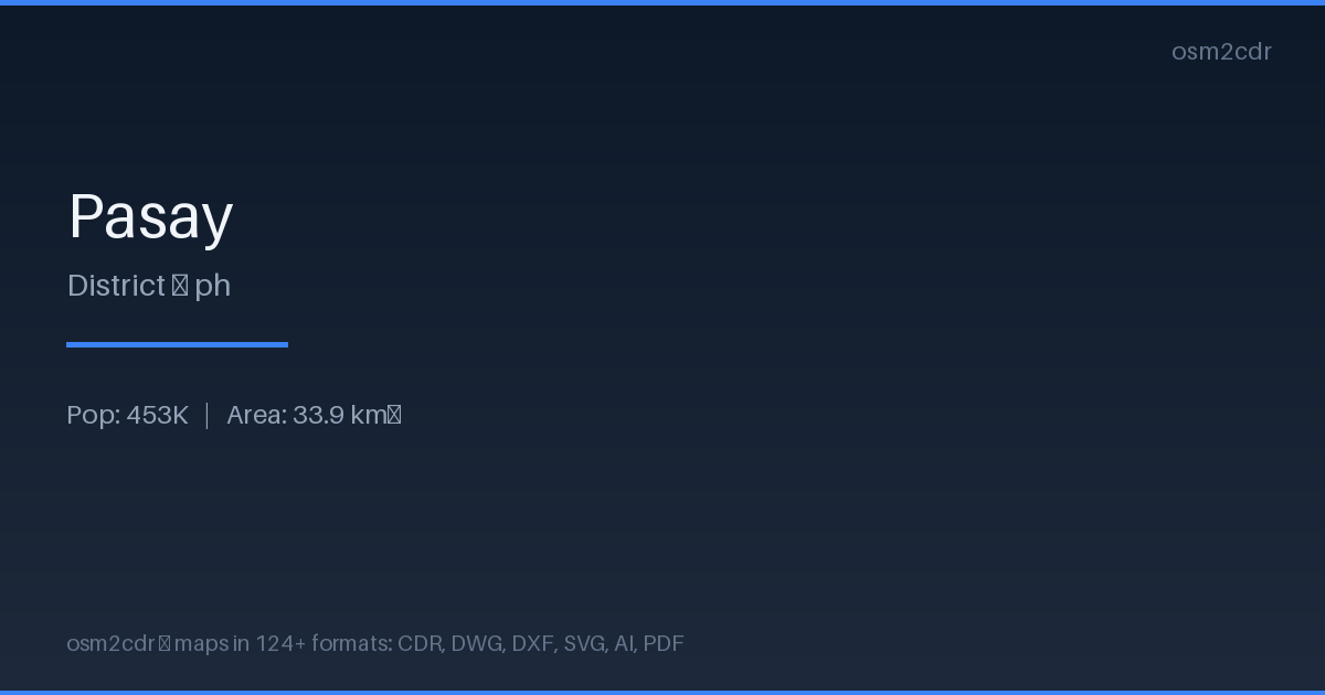
Map passport
Area34 km²
Buildings23 334
Roads425 km
Points of interest1 655
ProjectionWGS-84 (EPSG:4326)
LicenseODbL
Data sourceOpenStreetMap
Par WebP
WebP is Google's modern image format with lossy and lossless compression. 25-35% smaller than PNG/JPEG at the same quality.
Lietošanas gadījumi
- Web maps
- mobile apps
- CDN optimization
- previews
| Kategorija | GIS |
| Faila paplašinājums | .webp |
| Līmenis | Free |
What's in the WebP map of Pasay
23,334 buildings (238 residential, 122 commercial, 22 industrial, 22 religious), 424.9 km of roads, 1,655 points of interest, 15 landmarks.
Mostly service roads 176.7 km, residential streets 106.8 km, tertiary roads 34.7 km.
2.5% of the area is green space.
Among the objects: restaurant — 327, fast_food — 283, convenience — 137.
Main streets: Taft Avenue, Andrews Avenue, President Diosdado Macapagal Boulevard, J. W. Diokno Boulevard, Seaside Boulevard
Landmarks: GSIS Museo ng Sining, Exploreum, The Dessert Museum, Co Tec Tai Medical Museum, Space and Time Cube+
How to use WebP for Pasay
- Select the Pasay map area on the main page
- Choose WebP format and configure export settings
- Click Export and wait for processing
- Download the file and use in your application
Programs that open WebP
ChromeFirefoxGIMPPhotoshopSquooshlibwebp