Mapa Wangle ve formatu Excel
A map built from OpenStreetMap data, ready to download

Download ExcelFree
Customize the map
Open this place's area in the constructor and adjust everything to your needs
Open in constructor →Map passport
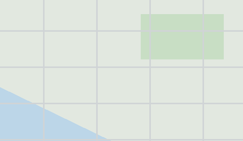
Area2.0 km²
Buildings5
Points of interest1
What this map contains by default
This is how the map is built as-is — every setting can be changed in the constructor.
O formátu Excel
Map of Wangle in Excel — an export of real OpenStreetMap data for the selected area.
Excel with coordinates is an XLSX table with latitude, longitude, and OSM attribute columns. Opens in Excel, Google Sheets, LibreOffice.
Which layers are in the file
This file for the selected area contains:
- Buildings
- Water
- Greenery
- Points of interest
Coordinate systems
WGS 84 (EPSG:4326), selectable in the wizard
Compatibility
Microsoft ExcelGoogle SheetsLibreOffice CalcQGIS
Units
Meters (projected in the chosen coordinate system)
| Kategorie | GIS |
| Přípona souboru | .xlsx |
| Úroveň | Free |
What's in the Excel map of Wangle
5 buildings, 1 points of interest.
100% of the area is green space.
Key amenities: schools — 1.
How to use Excel for Wangle
- Select the Wangle map area on the main page
- Choose Excel format and configure export settings
- Click Export and wait for processing
- Download the file and use in your application
Programs that open Excel
Microsoft ExcelGoogle SheetsLibreOffice CalcQGIS