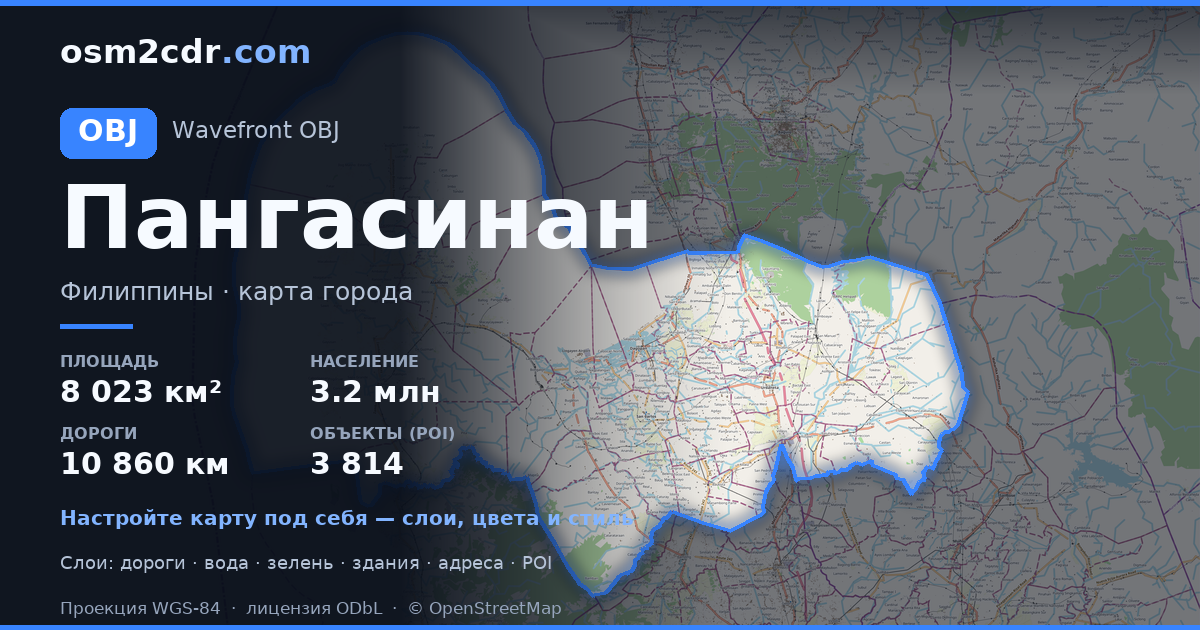
Carte de La Union au format OBJ
A map built from OpenStreetMap data, ready to download

Personnalisez la carte
Ouvrez la zone de ce lieu dans le constructeur et ajustez tout
Fiche de la carte
What this map contains by default
This is how the map is built as-is — every setting can be changed in the constructor.
À propos de OBJ
Map of La Union in OBJ — an export of real OpenStreetMap data for the selected area.
Wavefront OBJ is a universal 3D model format with material support. Buildings are exported with texture coordinates and groups by type.
Which layers are in the file
This file for the selected area contains:
- Roads
- Buildings
- Water
- Greenery
- Points of interest
Coordinate systems
WGS 84 (EPSG:4326), au choix dans l'assistant
Compatibility
Units
Meters (projected in the chosen coordinate system)
| Catégorie | 3D |
| Extension de fichier | .obj |
| Niveau | Free |
What's in the OBJ map of La Union
92,483 buildings (36,903 residential, 488 commercial, 141 industrial, 74 religious), 3,047.8 km of roads, 1,500 points of interest, 15 landmarks.
Mostly residential streets 1,312.3 km, unclassified roads 706.4 km, tertiary roads 468.6 km.
9% of the area is green space.
Among the objects: restaurants — 225, convenience stores — 184, fast food — 148.
3D scene with 92,483 buildings for Blender, Cinema 4D, and other 3D editors.
Main streets: Bacnotan-Luna-Balaoan Road, Bauang-San Fernando-San Juan Bypass Road, Jose Aspiras Highway, Tubao - Asin Road, Rosario-Tubao Road
Landmarks: Museo Iloko, La Union Science Centrum and Museum, Baroro Beach, Gapuz Grape Farm, ASA B0214 Agoo, La union
How to use OBJ for La Union
- Select the La Union map area on the main page
- Choose OBJ format and configure export settings
- Click Export and wait for processing
- Download the file and use in your application