Mapa de Cavite en formato JPEG
Descargue el mapa de Cavite en formato JPEG. Datos de OpenStreetMap, generación instantánea.
Generación de mapa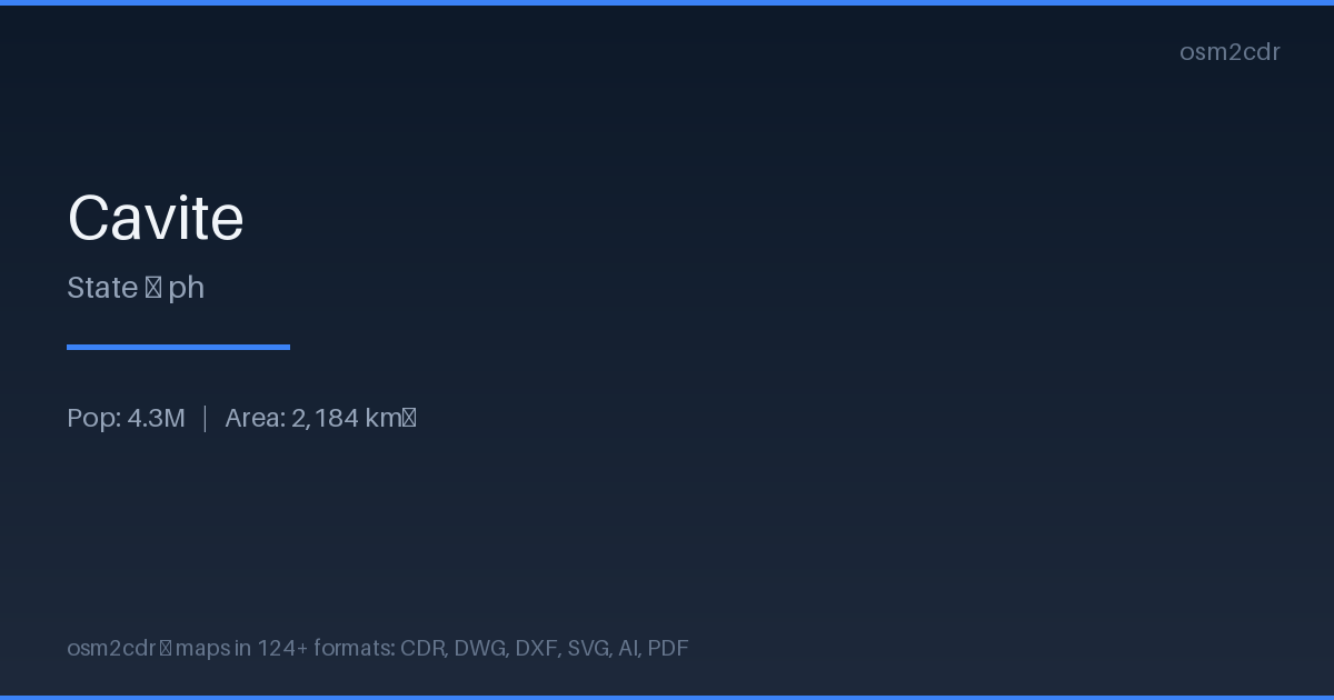
Map passport
Sobre JPEG
JPEG is a universal photo format with adjustable compression. Compact map file for documents and web publishing.
Casos de uso
- Web publishing
- social media
- presentations
- email newsletters
| Categoría | SIG |
| Extensión de archivo | .jpg |
| Nivel | Free |
What's in the JPEG map of Cavite
708,829 buildings (523,704 residential, 3,655 commercial, 3,027 industrial, 410 religious), 10,868.1 km of roads, 5,423 points of interest, 15 landmarks.
Mostly residential streets 6,956.3 km, service roads 1,467.6 km, tertiary roads 878.2 km.
5.1% of the area is green space.
Among the objects: convenience — 918, fast_food — 637, restaurant — 623.
Main streets: East-West Lateral Road, Aguinaldo Highway, Crisanto Mendoza de los Reyes Avenue, Ternate-Nasugbu Road, Governor's Drive
Landmarks: Philippine Navy Museum, Filipino War Memorial, Spanish Museum, 8 Anchors, B9 L23
How to use JPEG for Cavite
- Select the Cavite map area on the main page
- Choose JPEG format and configure export settings
- Click Export and wait for processing
- Download the file and use in your application