AntiqueのPDF形式マップ
Antiqueの地図をPDF形式でダウンロード。OpenStreetMapデータ、即時生成。
生成には約1〜3分かかります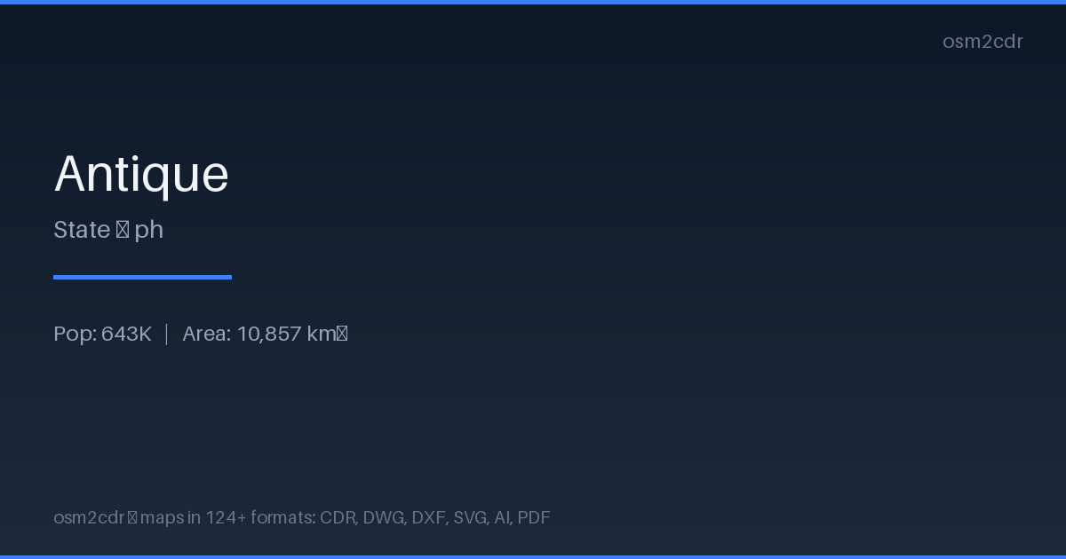
Map passport
PDFについて
Universal document format for printing and sharing. A PDF map preserves fonts, colors, and vector graphics on any device without distortion.
使用例
- Map printing
- email sharing
- presentations
- commercial printing
- archiving
| カテゴリ | Vector |
| ファイル拡張子 | .pdf |
| レベル | Free |
What's in the PDF map of Antique
41,392 buildings (5,623 residential, 94 commercial, 66 industrial, 32 religious), 2,093.3 km of roads, 487 points of interest, 15 landmarks.
Mostly residential streets 589.1 km, unclassified roads 520.4 km, tertiary roads 506.7 km.
1.8% of the area is green space.
Among the objects: bakery — 85, schools — 51, restaurant — 48.
Print-ready map with 41,392 buildings, 15 landmarks and 2,093.3 km of roads.
Main streets: Antique-Aklan Road, Anini-y–Tobias Fornier Road, Pandan-Libertad-Aklan Boundary Road, Iloilo-Antique Mountain Road, Iloilo-Antique Road
Landmarks: Culasi Museum & Library, Ilocos, Historical Landmark 1st Malay Settlement, Seventh Day Adventist, Maybato Sur Catholic Chapel
How to use PDF for Antique
- Select the Antique map area on the main page
- Choose PDF format and configure export settings
- Click Export and wait for processing
- Download the file and use in your application
Programs that open PDF
FAQ: PDF for Antique
Can I edit the map in PDF?
PDF preserves vector graphics, so you can open the file in Adobe Illustrator or Inkscape and edit individual elements.
What will the file size be?
Size depends on area and detail level. A city district is 1-5 MB, a whole city is 10-50 MB.