Map of Amazonas in DWG format
Download Amazonas map in DWG format. OpenStreetMap data, instant generation.
Map generation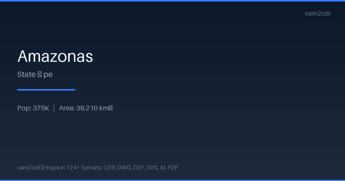
Map passport
About DWG
Native AutoCAD format — the global standard for drawings and project documentation. Contains complete map geometry with layers, blocks, and attributes for professional design.
Use cases
- Architectural design
- master plans
- construction documentation
- land surveying
| Category | CAD |
| File extension | .dwg |
| Tier | Free |
What's in the DWG map of Amazonas
44,344 buildings (105 residential, 1 commercial, 1 industrial, 21 religious), 6,572.4 km of roads, 3,041 points of interest, 15 landmarks.
Mostly unclassified roads 2,046.0 km, tertiary roads 1,610.3 km, residential streets 1,188.0 km.
1.9% of the area is green space.
Among the objects: schools — 1,374, kindergarten — 813, doctors — 284.
All 44,344 buildings are exported as closed polylines on separate layers. 6,572.4 km of roads are preserved with type classification.
Main streets: Carretera Huaylla Belén, Carretera Nuevo Tingo - Colcamar, A Nuevo Paraiso, Carretera Nogalcucho - Kuelap, Santa Cruz
Landmarks: Museo del sarcófago de Karajia, Museo Jalca Grande, Museo de Leymebamba, Museo de Lámud, Salas de Exposición "Gilberto Tenorio Ruiz"
How to use DWG for Amazonas
- Select the Amazonas map area on the main page
- Choose DWG format and click Export
- Download and open in AutoCAD, BricsCAD, or LibreCAD
- Buildings, roads, and features are on separate layers
Programs that open DWG
FAQ: DWG for Amazonas
Is DWG compatible with AutoCAD?
Yes, the file is compatible with AutoCAD 2018+, BricsCAD, NanoCAD, and other CAD software. All layers and attributes are preserved.
What coordinate system is used?
WGS 84 by default. You can choose a different coordinate system (including local CRS) during export.