Map of Buskerud in WebP format
ดาวน์โหลดแผนที่ Buskerud ในรูปแบบ WebP ข้อมูล OpenStreetMap
การสร้างใช้เวลา ~1–3 นาที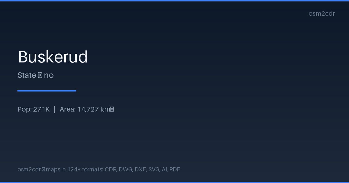
Map passport
Area14 727 km²
Buildings255 067
Roads17 974 km
Points of interest8 485
ProjectionWGS-84 (EPSG:4326)
LicenseODbL
Data sourceOpenStreetMap
เกี่ยวกับ WebP
WebP is Google's modern image format with lossy and lossless compression. 25-35% smaller than PNG/JPEG at the same quality.
กรณีการใช้งาน
- Web maps
- mobile apps
- CDN optimization
- previews
| หมวดหมู่ | GIS |
| นามสกุลไฟล์ | .webp |
| ระดับ | Free |
What's in the WebP map of Buskerud
255,067 buildings (62,067 residential, 2,726 commercial, 3,383 industrial, 145 religious), 17,974.0 km of roads, 8,485 points of interest, 15 landmarks.
Mostly service roads 7,575.0 km, unclassified roads 5,092.7 km, residential streets 1,822.8 km.
Among the objects: information — 2,589, bench — 1,376, bicycle_parking — 644.
Main streets: Numedalsvegen, Vestsideveien, Sigdalsveien, Tunhovdvegen, Vestre Ådal
Landmarks: Dokken fjellgard, Norsk Vegmuseum Labro, Dagali museum, Hemsedal bygdetun, Krøderbanen
How to use WebP for Buskerud
- Select the Buskerud map area on the main page
- Choose WebP format and configure export settings
- Click Export and wait for processing
- Download the file and use in your application
Programs that open WebP
ChromeFirefoxGIMPPhotoshopSquooshlibwebp