Mapa de Agder em formato KOMPAS
Baixe o mapa de Agder no formato KOMPAS. Dados OpenStreetMap.
Geração do mapa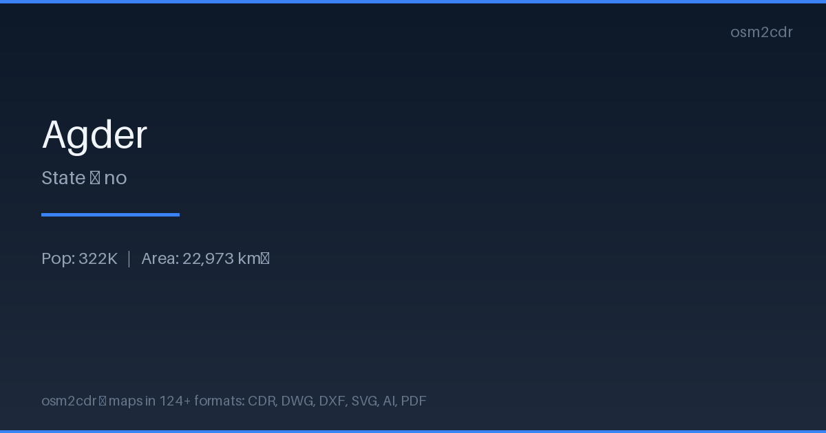
Map passport
Area22 973 km²
Buildings275 468
Roads16 818 km
Points of interest6 934
ProjectionWGS-84 (EPSG:4326)
LicenseODbL
Data sourceOpenStreetMap
Sobre KOMPAS
KOMPAS-3D is a Russian CAD system by ASCON. DXF export optimized for KOMPAS import with layer and scale preservation.
Casos de uso
- KOMPAS-3D
- Russian CAD projects
- engineering documentation
- GOST drawings
| Categoria | CAD |
| Extensão do arquivo | .dxf |
| Nível | Free |
What's in the KOMPAS map of Agder
275,468 buildings (83,322 residential, 3,632 commercial, 4,640 industrial, 462 religious), 16,817.8 km of roads, 6,934 points of interest, 15 landmarks.
Mostly service roads 5,016.5 km, unclassified roads 3,151.3 km, residential streets 2,913.2 km.
Among the objects: information — 1,303, picnic_table — 657, post_box — 619.
Main streets: Sirdalsveien, Marnarveien, Audnedalsveien, Evjeveien, Frolandsveien
Landmarks: Næs Jernverksmuseum, Risør Kystkultursenter, Angelstad gård (Østre Angelstad), AbelSenteret i Gjerstad, Made On Sandøya
How to use KOMPAS for Agder
- Select the Agder map area on the main page
- Choose KOMPAS format and configure export settings
- Click Export and wait for processing
- Download the file and use in your application
Programs that open KOMPAS
KOMPAS-3DKOMPAS-GraphicNanoCADAutoCADBricsCAD