Karte von Zinder im KOMPAS-Format
Laden Sie die Karte von Zinder im KOMPAS-Format herunter. OpenStreetMap-Daten, sofortige Generierung.
Kartengenerierung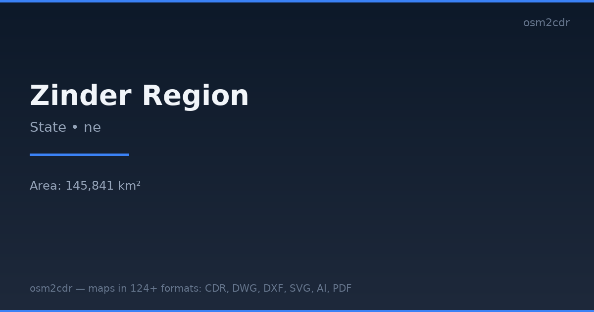
Map passport
Area145 841 km²
Buildings446 562
Roads36 066 km
Points of interest396
ProjectionWGS-84 (EPSG:4326)
LicenseODbL
Data sourceOpenStreetMap
Über KOMPAS
KOMPAS-3D is a Russian CAD system by ASCON. DXF export optimized for KOMPAS import with layer and scale preservation.
Anwendungsfälle
- KOMPAS-3D
- Russian CAD projects
- engineering documentation
- GOST drawings
| Kategorie | CAD |
| Dateierweiterung | .dxf |
| Tarif | Free |
What's in the KOMPAS map of Zinder
446,562 buildings (2,080 residential, 6 commercial, 21 industrial, 9 religious), 36,066.1 km of roads, 396 points of interest, 15 landmarks.
Mostly unclassified roads 30,845.2 km, residential streets 2,483.0 km, trunk roads 875.4 km.
Among the objects: health_post — 70, schools — 60, clinic — 40.
Main streets: Kunya to Niger Border Road, Piste Kellé - Boultoum, Gumel to Maigatari Road, Route de l'Aéroport, Route de l'Université
Landmarks: Musée Régional de Zinder, Soraz, Sultanat de Zinder, FADA CARLO, gida
How to use KOMPAS for Zinder
- Select the Zinder map area on the main page
- Choose KOMPAS format and configure export settings
- Click Export and wait for processing
- Download the file and use in your application
Programs that open KOMPAS
KOMPAS-3DKOMPAS-GraphicNanoCADAutoCADBricsCAD