Map of Agadez Region in KOMPAS format
Download Agadez Region map in KOMPAS format. OpenStreetMap data, instant generation.
Map generation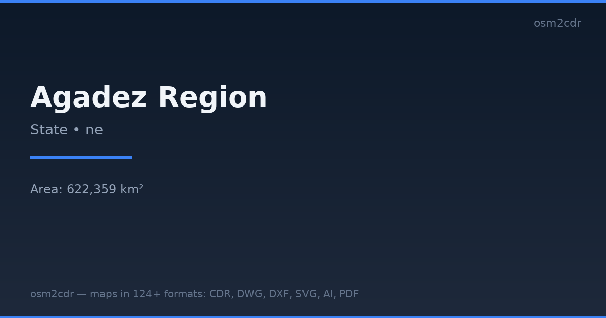
Map passport
Area622 359 km²
Buildings19 509
Roads19 581 km
Points of interest254
ProjectionWGS-84 (EPSG:4326)
LicenseODbL
Data sourceOpenStreetMap
About KOMPAS
KOMPAS-3D is a Russian CAD system by ASCON. DXF export optimized for KOMPAS import with layer and scale preservation.
Use cases
- KOMPAS-3D
- Russian CAD projects
- engineering documentation
- GOST drawings
| Category | CAD |
| File extension | .dxf |
| Tier | Free |
What's in the KOMPAS map of Agadez Region
19,509 buildings (154 residential, 20 commercial, 73 industrial, 12 religious), 19,580.7 km of roads, 254 points of interest, 15 landmarks.
Mostly unclassified roads 14,022.5 km, primary roads 1,888.1 km, tertiary roads 1,868.2 km.
Among the objects: schools — 46, place_of_worship — 32, fuel stations — 23.
Main streets: الطريق العابر للصحراء, Trans-Sahara, ط و ٥٦, طريق وطني 56, Route de l'Aéroport
Landmarks: Sultanat d'Agadez, Bienvenue d'Arlit, Bretelle, Flamme de la paix, Bienvenue à Agadez
How to use KOMPAS for Agadez Region
- Select the Agadez Region map area on the main page
- Choose KOMPAS format and configure export settings
- Click Export and wait for processing
- Download the file and use in your application
Programs that open KOMPAS
KOMPAS-3DKOMPAS-GraphicNanoCADAutoCADBricsCAD